

Define the property question
Locate the property’s jurisdiction before choosing a source. A state map, local assessor, planning authority and operating-license register may use different identifiers.
Source 1State research directory
Start with the state where the property sits, then follow the guide’s specific source and authority path. A state guide explains a useful local research workflow; it does not imply that every property or jurisdiction has been ingested. Use the worksheet to preserve identifiers, document scope and the next authority question.
Explore practical guides by asset type or state, with source references, worked examples and editable kits.
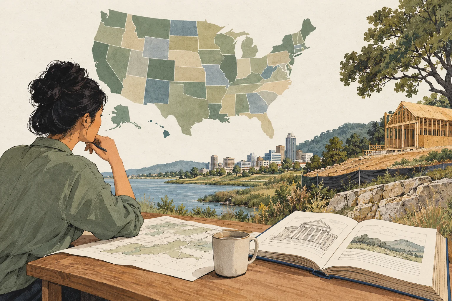
Choose a useful starting point
Locate the property’s jurisdiction before choosing a source. A state map, local assessor, planning authority and operating-license register may use different identifiers.
Source 1Inspect the fictional example before entering your own property. It shows how the guide’s specific evidence gaps turn into requests and reviewer tasks. The example is a teaching file, not an observed property or market result.
Cross into an asset guide when local records need operating context. A statewide source path is useful alongside the specific property workflow.
Using the collection
No. It is a collection of research and acquisition-workflow guides with editable worksheets. Source inventories, verified property samples and future studies are identified separately.
No. Start with the worked example or the evidence already in your deal file. The output is a review sheet with missing information and specific next actions.
New research can add dated findings, source-backed samples and deeper examples to the existing guide. The useful method, source trail and kit remain accessible between report editions.
Find your next working guide
51 guides
State guide
Research commercial property across every Virginia county and CRE asset type. Find the right record custodians and build an editable acquisition evidence register.
Open guide and working kit ↗
State guide
Research commercial property across every New York county and CRE asset type. Find the right record custodians and build an editable acquisition evidence register.
Open guide and working kit ↗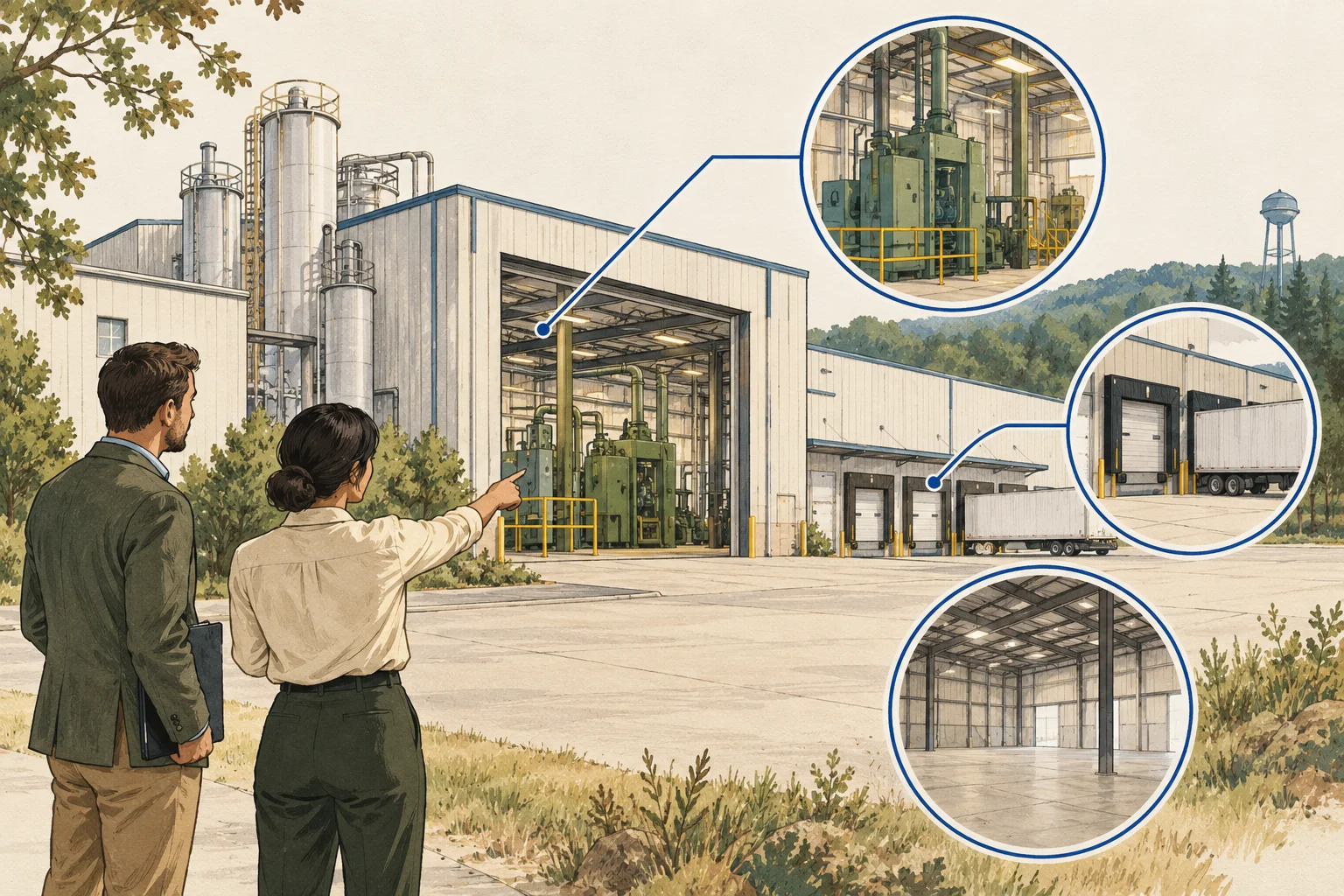
State guide
Connect Alabama facility records to the offered real estate, current activity and proposed reuse before requesting environmental and operating review.
Open guide and working kit ↗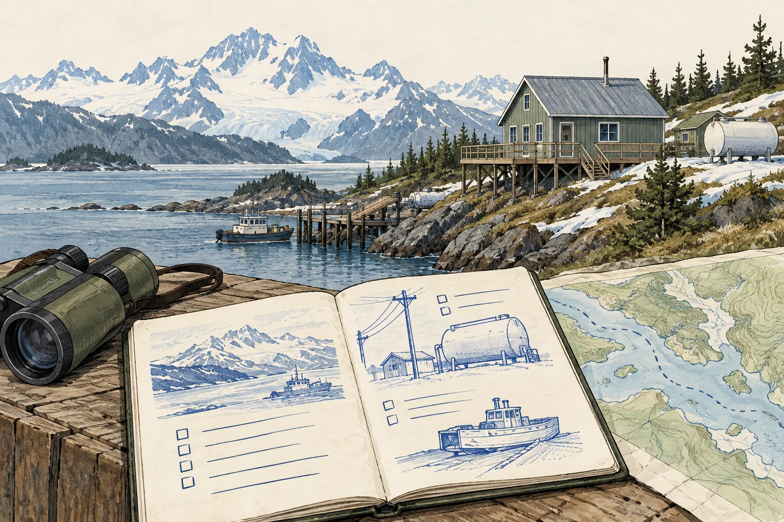
State guide
Trace the people, freight and utility routes serving an Alaska acquisition through access instruments and operating-season evidence.
Open guide and working kit ↗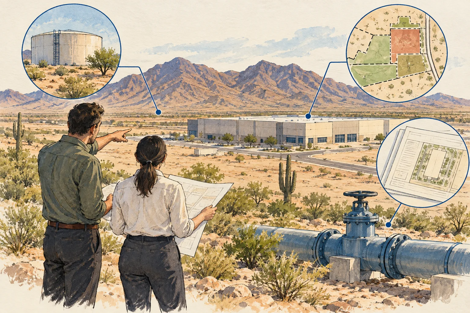
State guide
Distinguish Arizona water evidence, provider responsibilities and a project-specific service commitment before treating supply as a development input.
Open guide and working kit ↗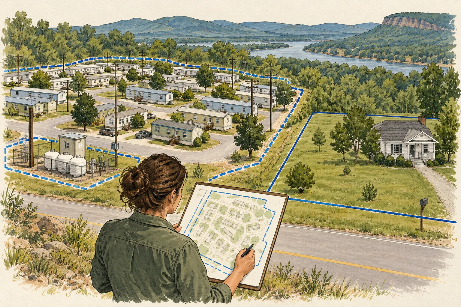
State guide
Use Arkansas parcel metadata as a starting point for connecting a park footprint, site roster and home interests, with unresolved matches recorded.
Open guide and working kit ↗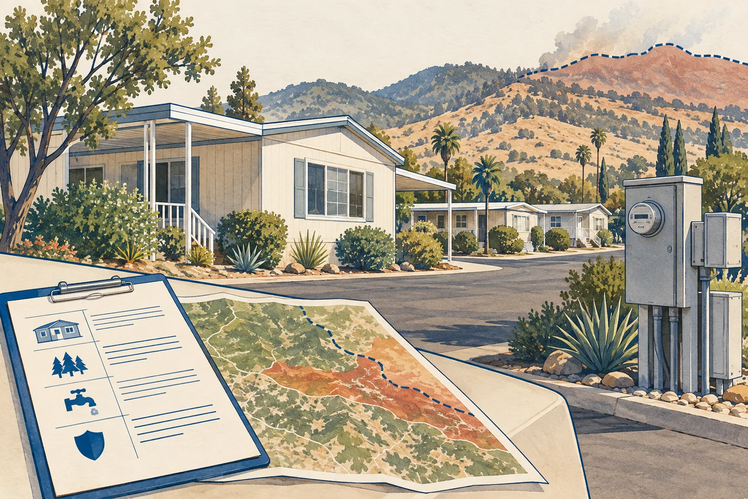
State guide
Use HCD's park and enforcement-agency guidance to connect the California park identity, local authority and documents needed for acquisition review.
Open guide and working kit ↗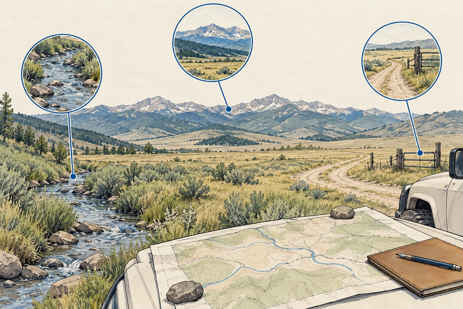
State guide
Follow Colorado water-right record paths while keeping the land, claimed interest, proposed use and physical delivery arrangements distinct.
Open guide and working kit ↗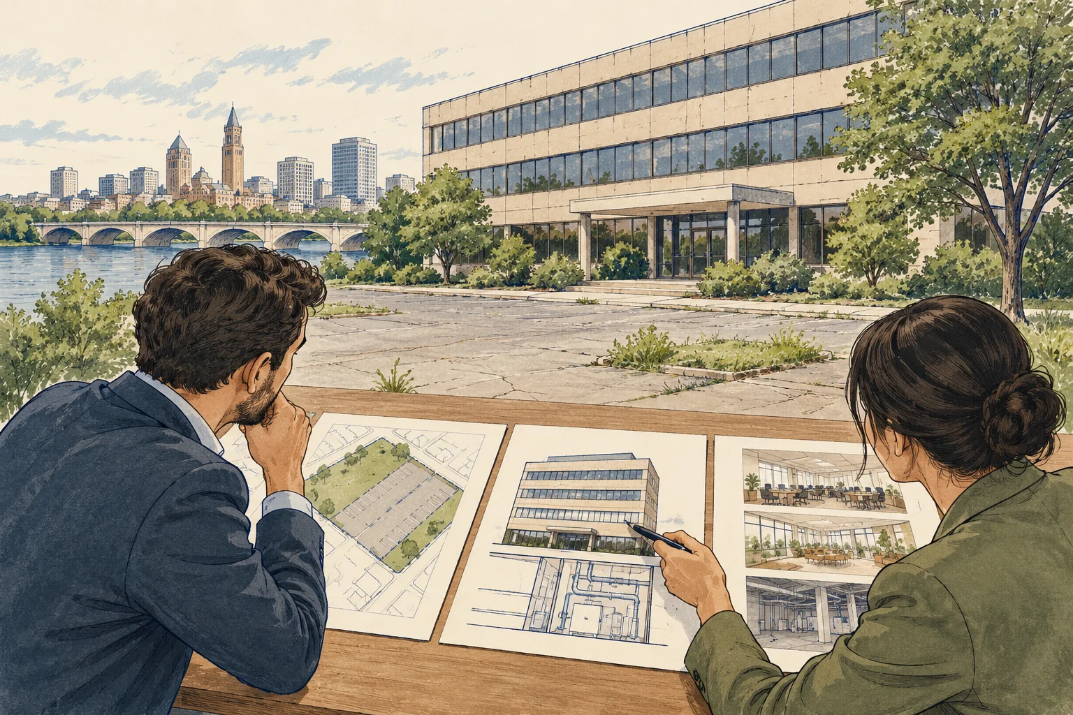
State guide
Connect a Connecticut office's parcel and assessor record to municipal use, building and service questions before developing a conversion thesis.
Open guide and working kit ↗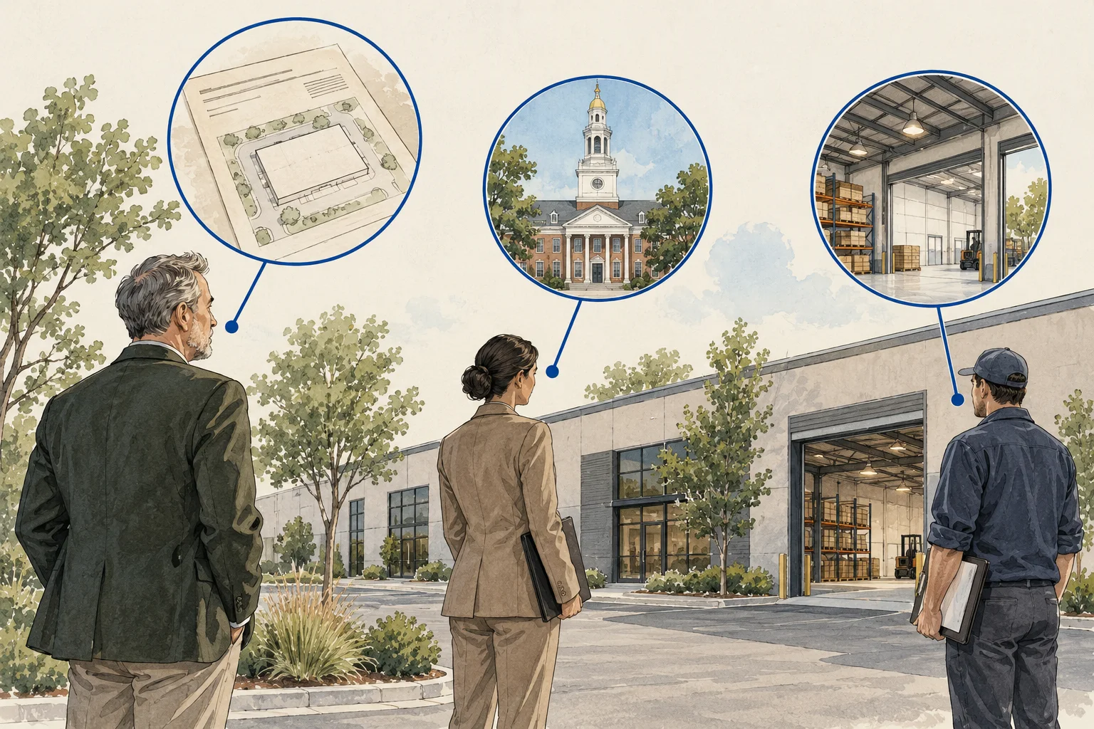
State guide
Keep Delaware entity records, property interests and tenant identities in separate fields before accepting an ownership match or transaction role.
Open guide and working kit ↗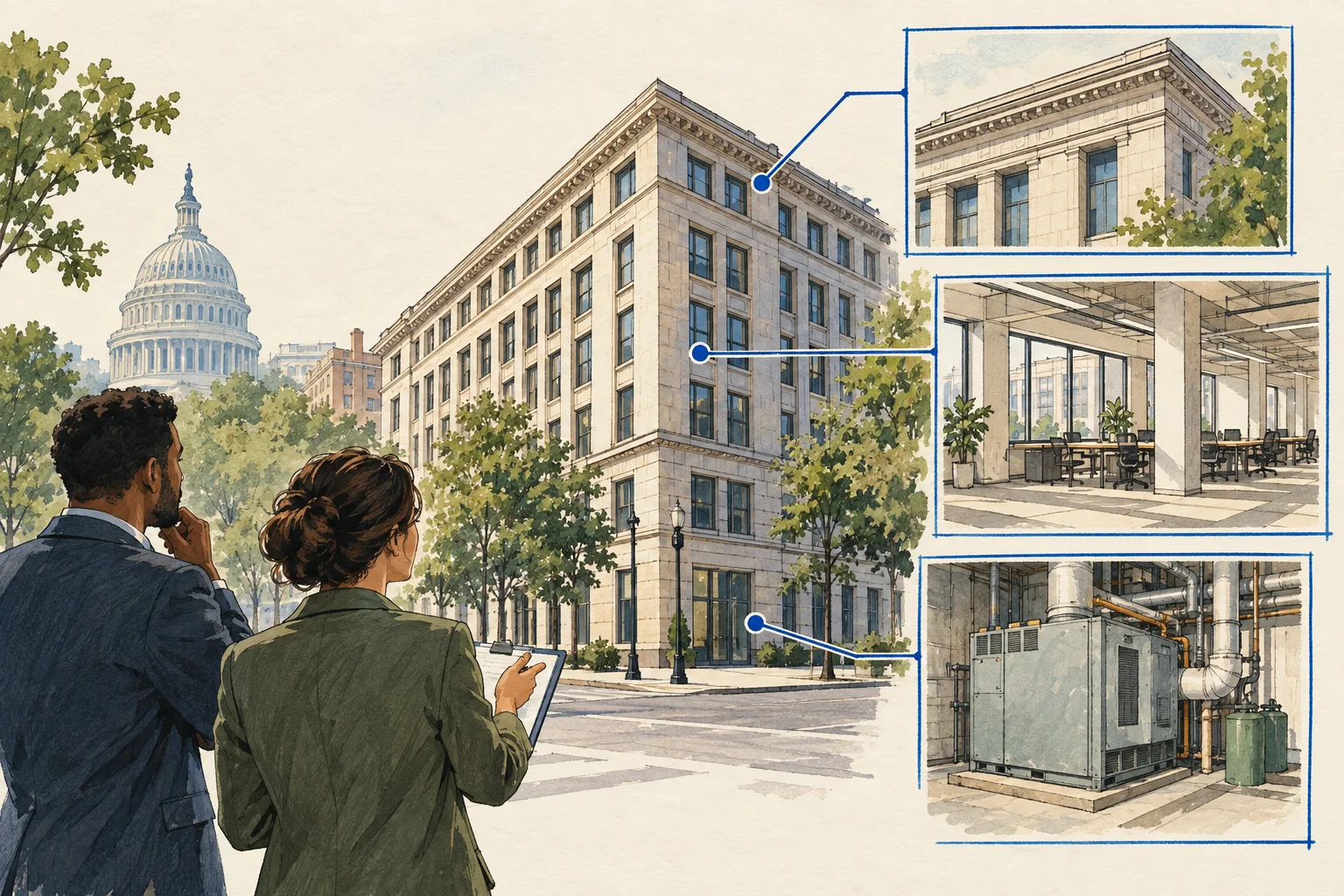
State guide
Match the building boundary and reporting period across DC energy, occupancy and property records before comparing performance assumptions.
Open guide and working kit ↗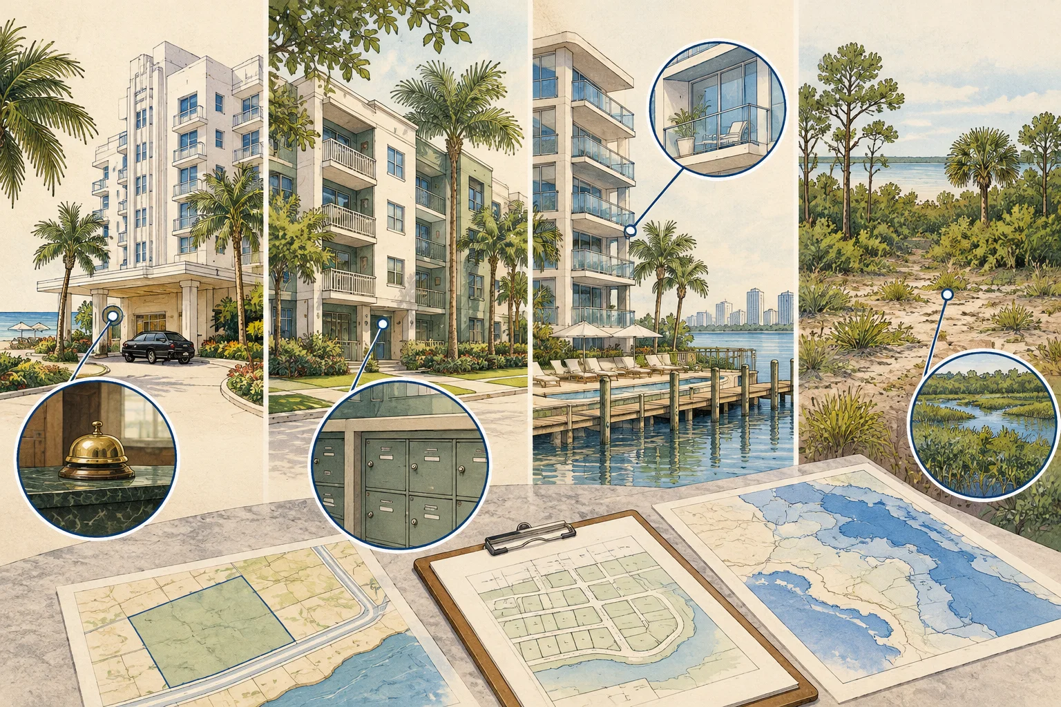
State guide
Connect Florida lodging-license and property-record pathways without assuming the licensed operation, assessed parcel and business sold are identical.
Open guide and working kit ↗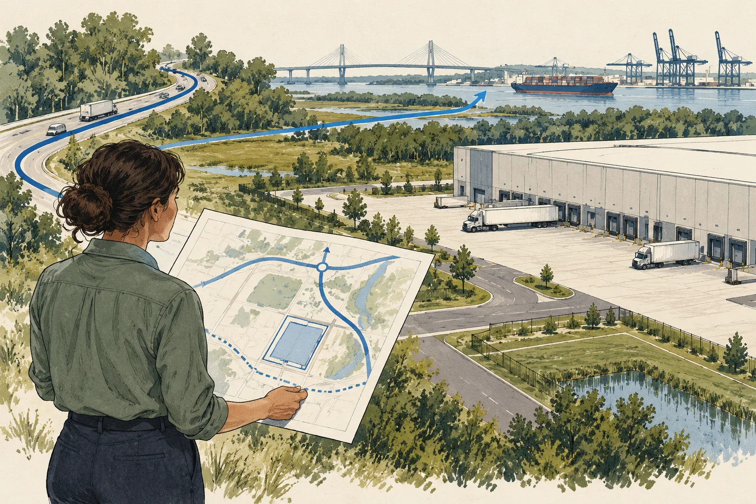
State guide
Identify road responsibility, site-entry records and proposed vehicle movements before treating a Georgia corridor location as workable logistics access.
Open guide and working kit ↗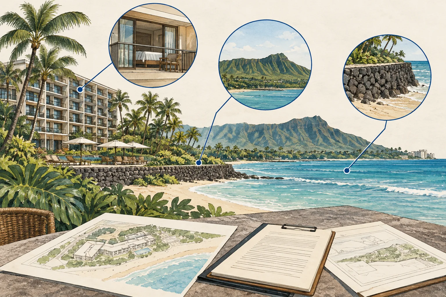
State guide
Use Hawaii conveyance-record guidance to distinguish land, leasehold and business interests before reviewing hotel tenure and transfer obligations.
Open guide and working kit ↗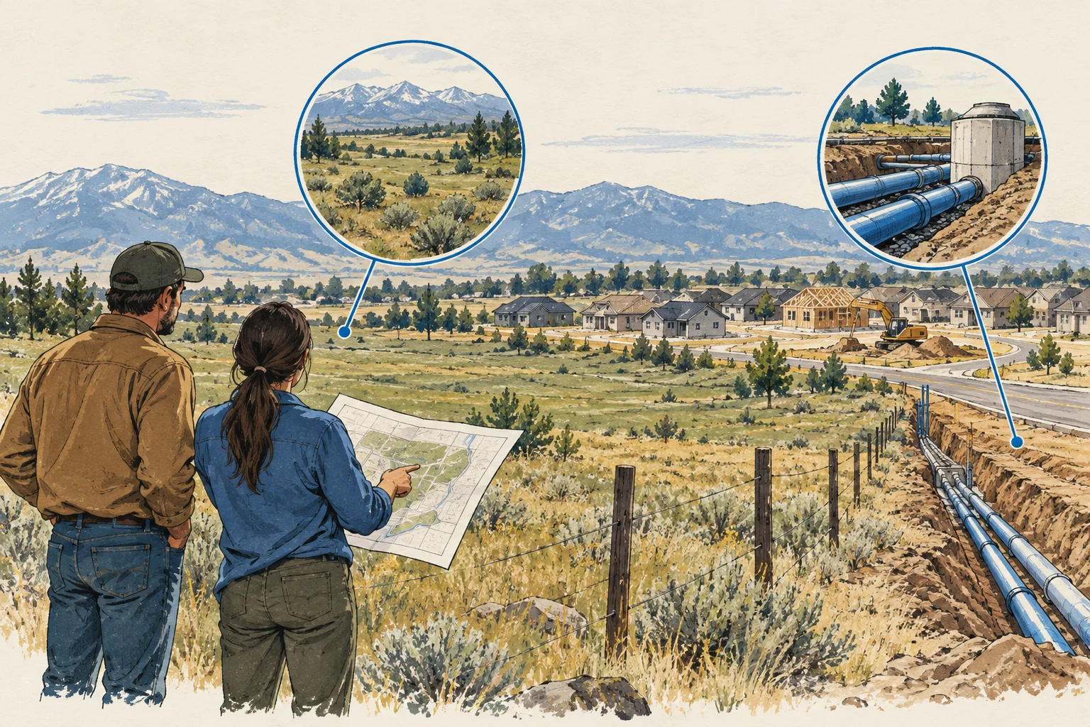
State guide
Use Idaho water-system records to identify the relevant provider, then request a response tied to the proposed project's use and connection assumptions.
Open guide and working kit ↗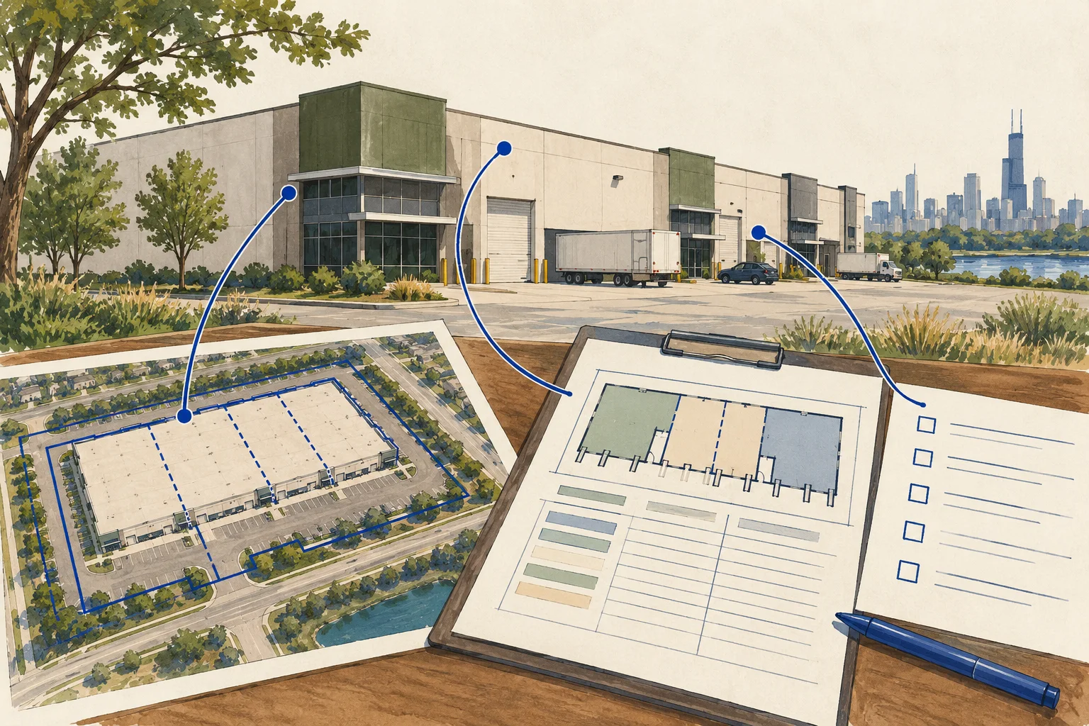
State guide
Use Cook County as a bounded Illinois example for reconciling assessed parcels, buildings and leased space before consolidating an industrial property.
Open guide and working kit ↗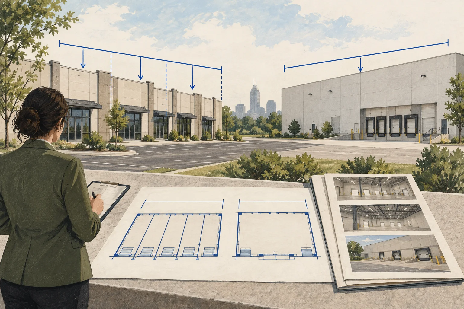
State guide
Compare Indiana property-record information with floor plans, lease exhibits and utility evidence to review the building's actual bay configuration.
Open guide and working kit ↗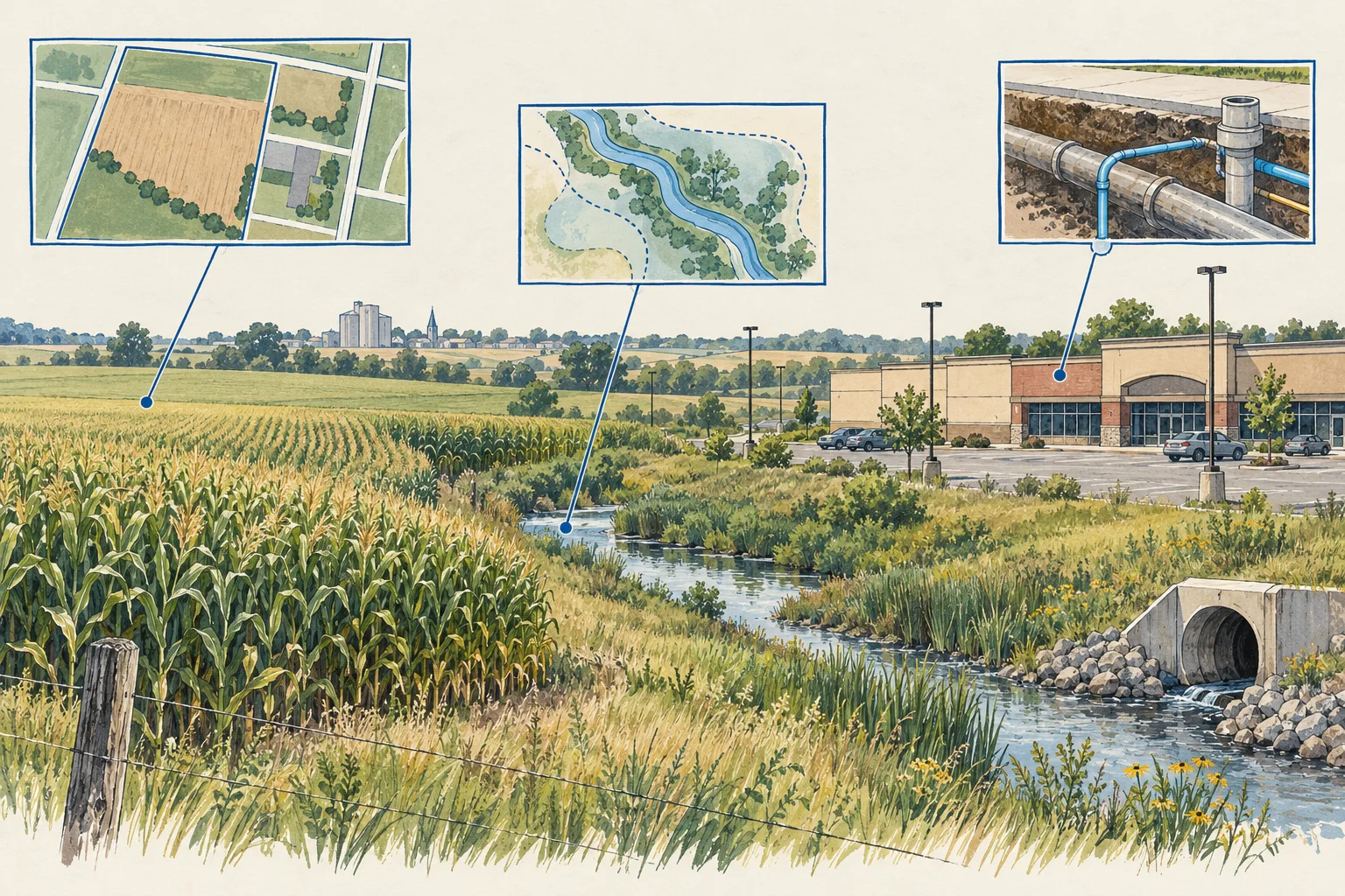
State guide
Connect Iowa environmental record paths to the historical property footprint and proposed agricultural or industrial reuse, keeping gaps visible.
Open guide and working kit ↗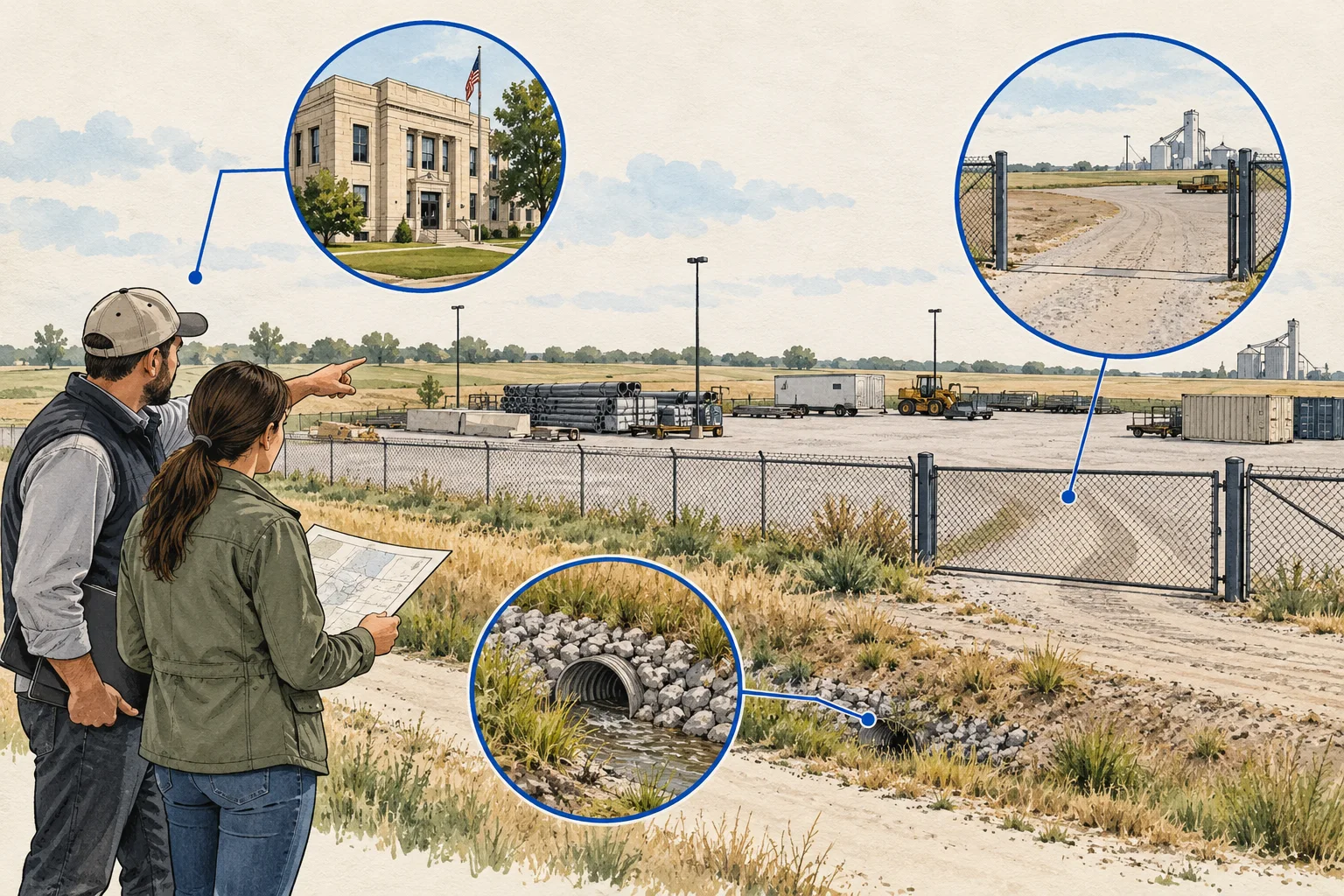
State guide
Use Wichita's zoning-case path as a Kansas example, connecting the proposed outdoor activity to governing records, conditions and site evidence.
Open guide and working kit ↗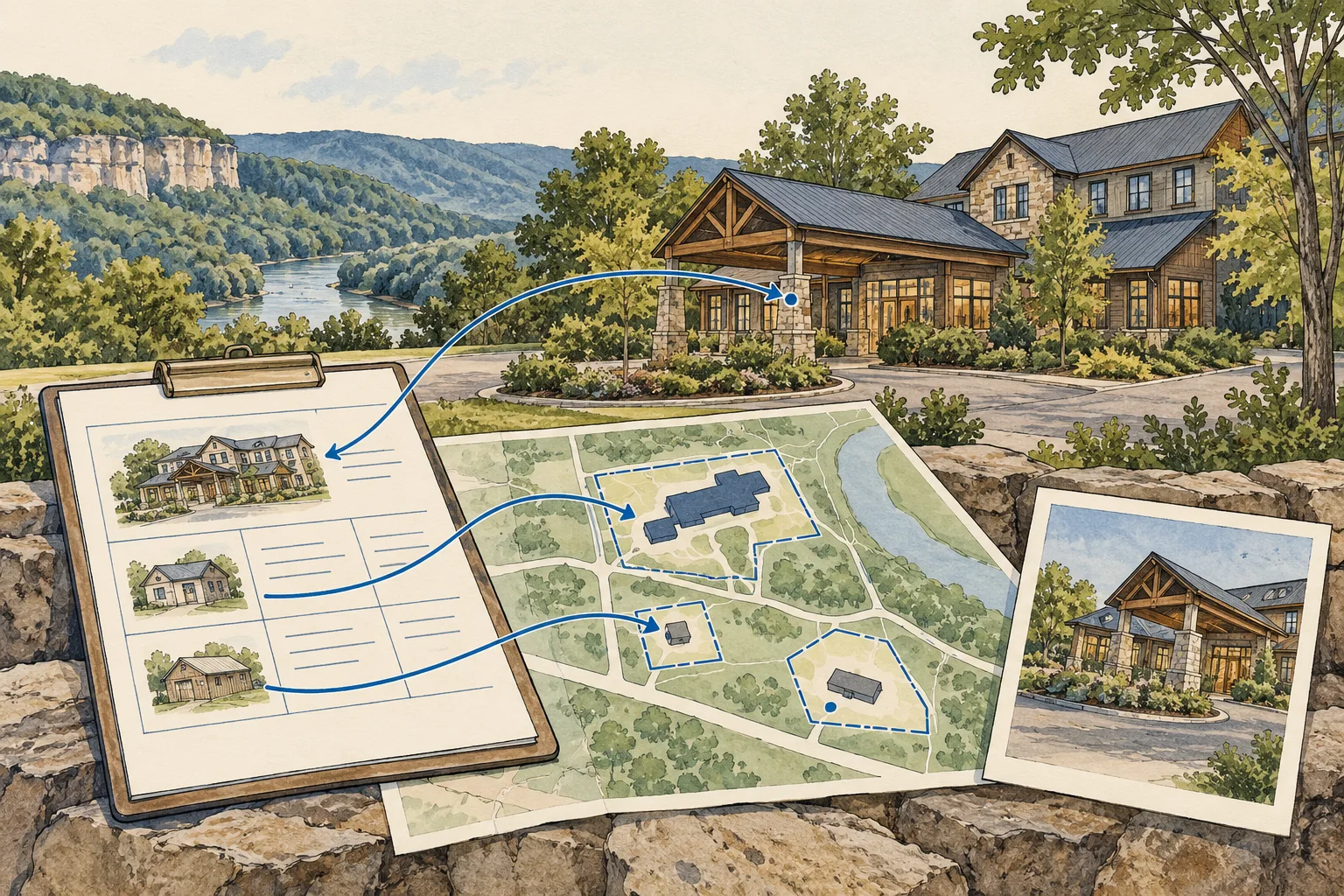
State guide
Keep the Kentucky lodging operation, assessed real estate and business interest separate while assembling the records needed for a hotel acquisition.
Open guide and working kit ↗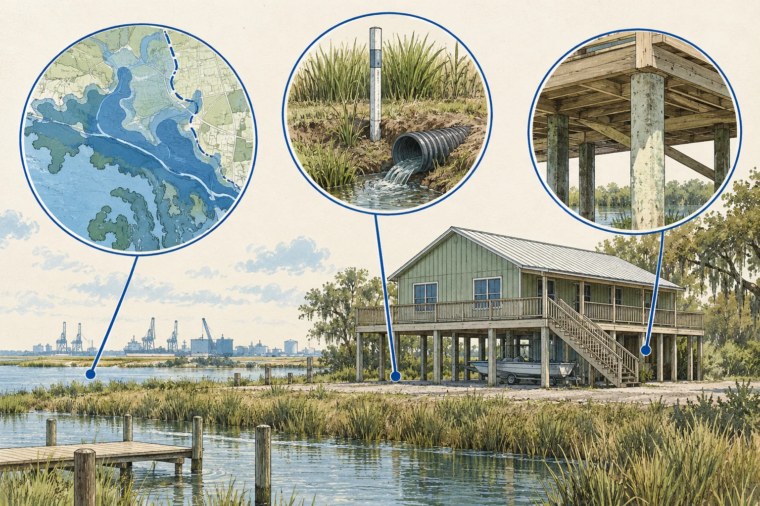
State guide
Track the flood-map layer, building position and separate drainage or elevation evidence used in a Louisiana commercial-property review.
Open guide and working kit ↗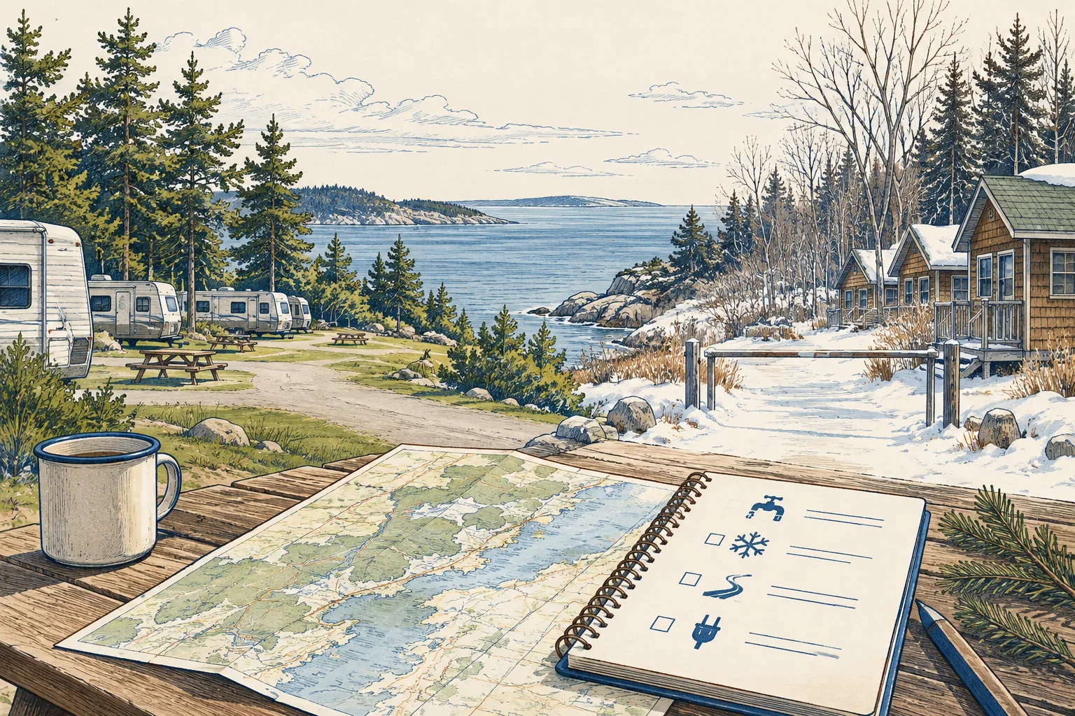
State guide
Review a Maine campground or lodge's operating calendar, site inventory and seasonal water records before assuming a longer operating period.
Open guide and working kit ↗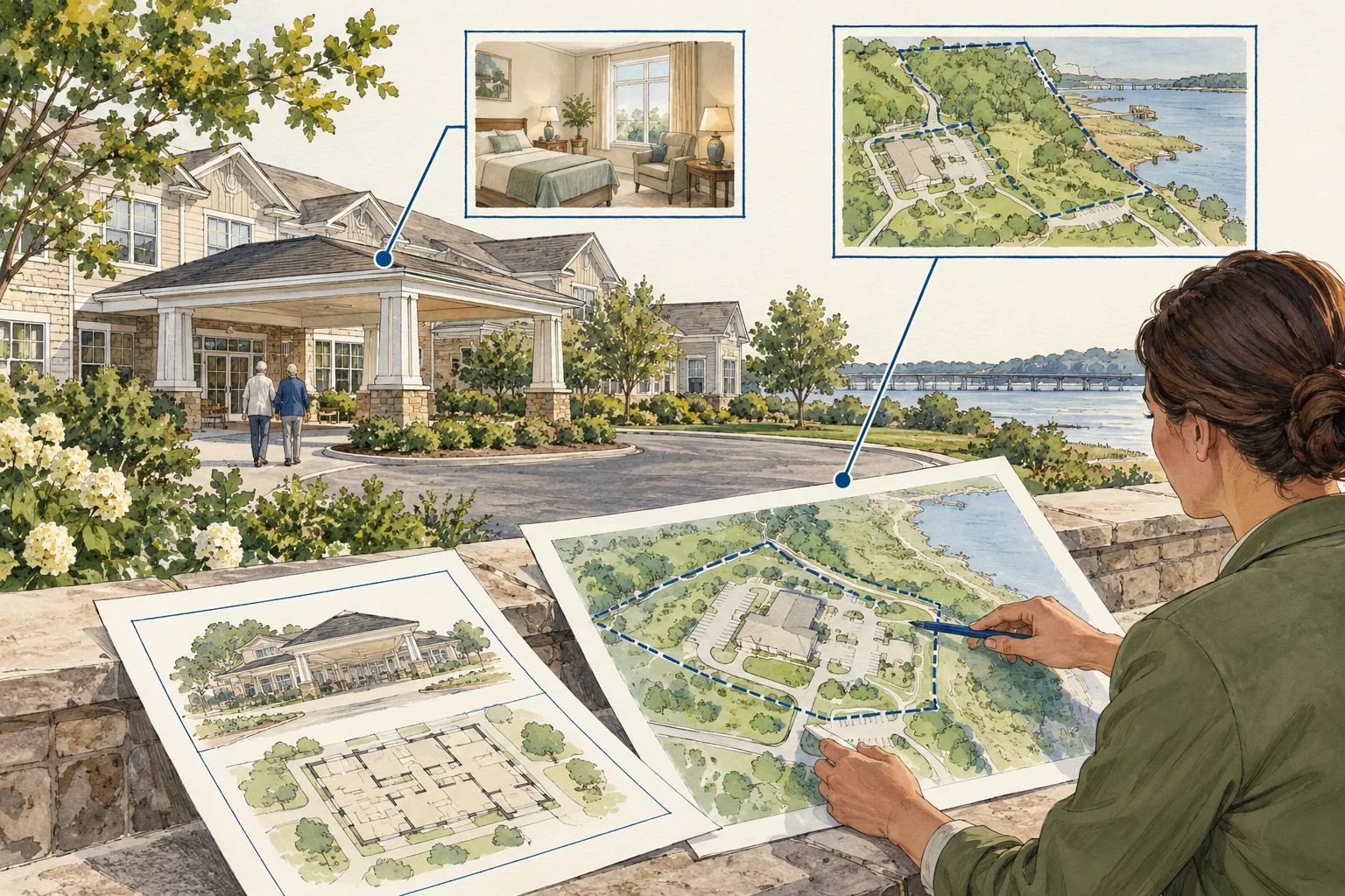
State guide
Connect Maryland care-facility and property record paths while preserving the distinction between the licensee, operation and real estate acquired.
Open guide and working kit ↗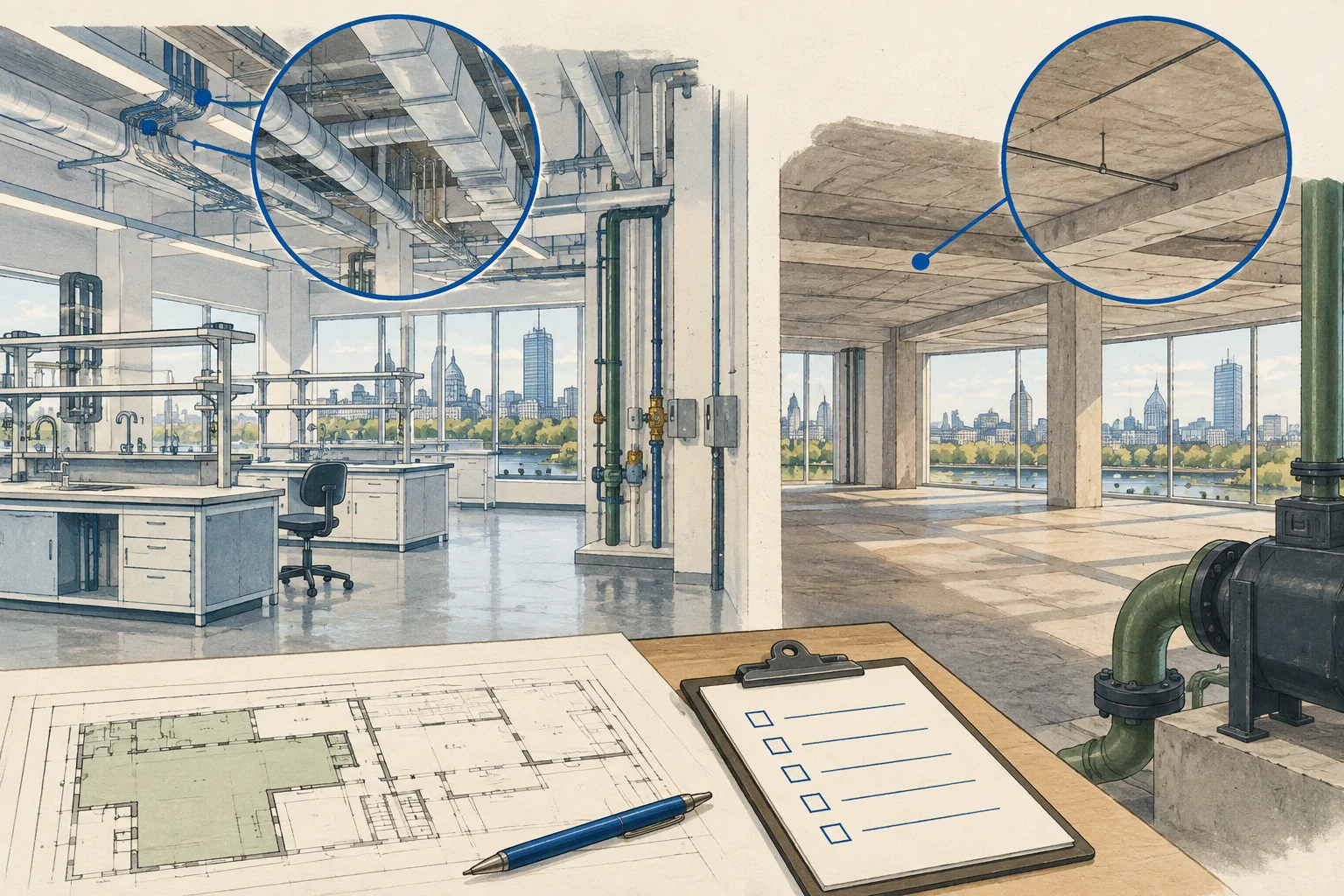
State guide
Use Boston as a Massachusetts example for connecting laboratory registration and building records to a defined activity and technical review.
Open guide and working kit ↗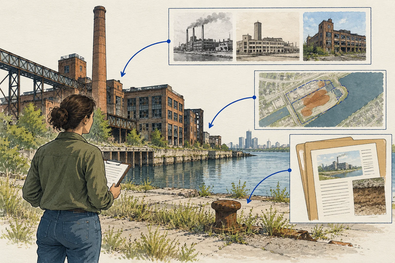
State guide
Organize Michigan EGLE record pathways, dated environmental documents and proposed site work into a targeted industrial-reuse review file.
Open guide and working kit ↗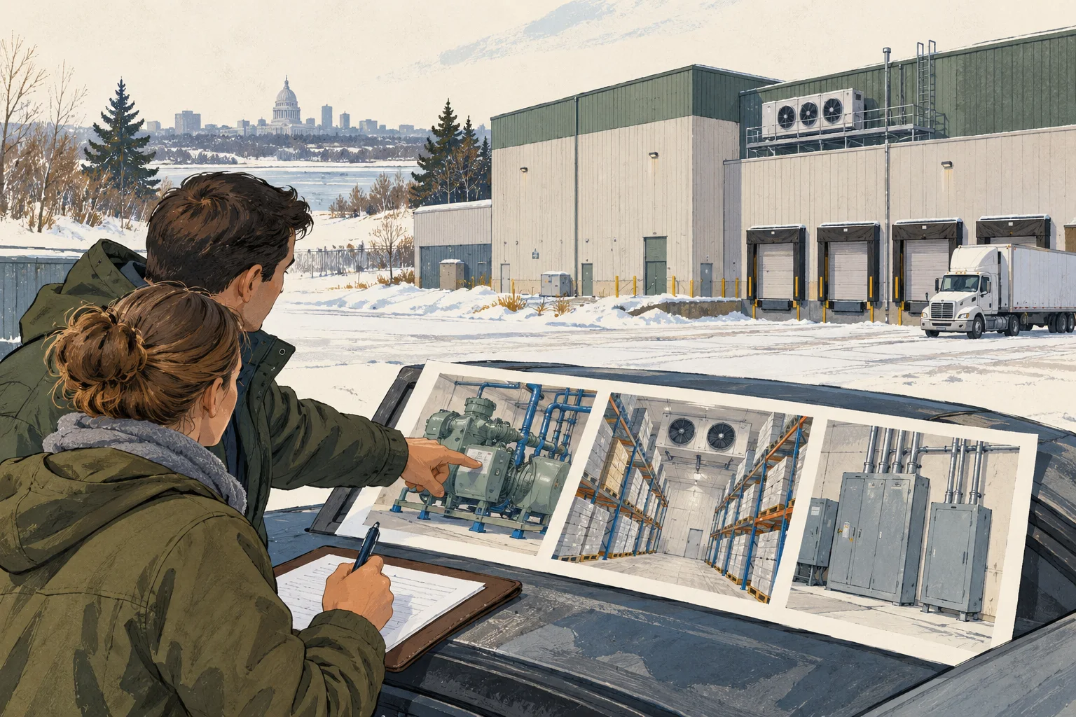
State guide
Use Minnesota food-program records as a starting point, then request temperature, equipment and responsibility evidence for the proposed warehouse use.
Open guide and working kit ↗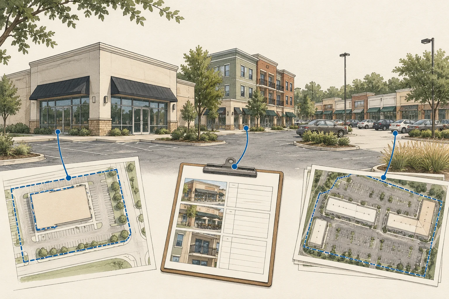
State guide
Use Harrison County as a Mississippi example for separating assessed parcels, tenant premises, outparcels and shared retail-center obligations.
Open guide and working kit ↗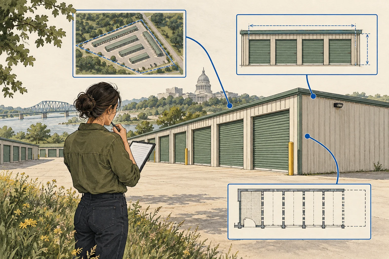
State guide
Keep rentable-unit evidence separate from expansion land and Missouri construction-stormwater questions before assuming additional storage capacity.
Open guide and working kit ↗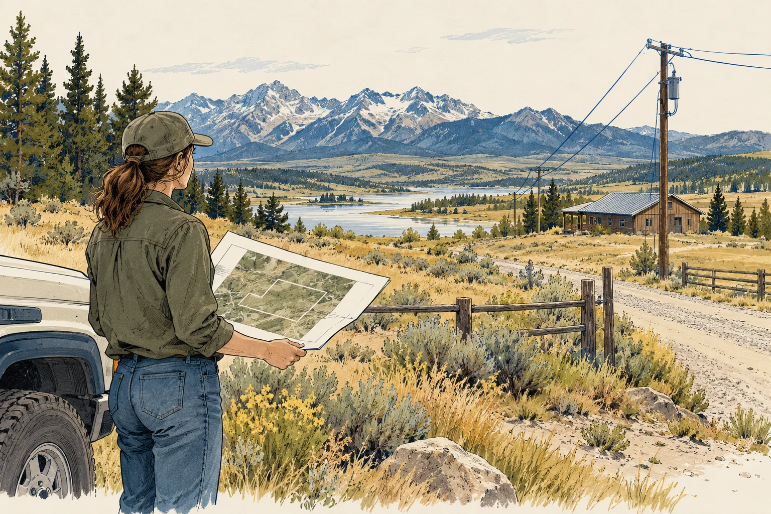
State guide
Follow Montana water-record paths while connecting the proposed rural operation, season and physical supply to evidence that a specialist can review.
Open guide and working kit ↗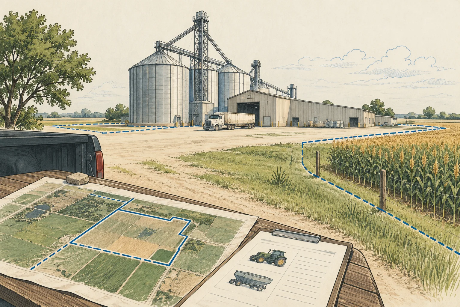
State guide
Connect Nebraska grain-facility records to buildings, equipment and operating interests without treating licensed bushel capacity as real-estate area.
Open guide and working kit ↗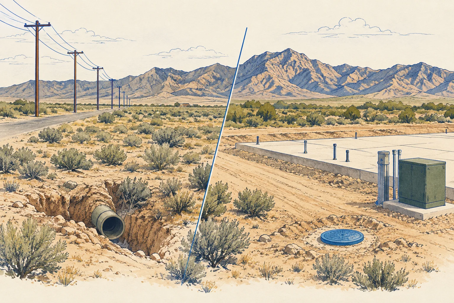
State guide
Distinguish an SNWA nearest-source inquiry from provider responsibility, a feasible connection route and project-specific service conditions.
Open guide and working kit ↗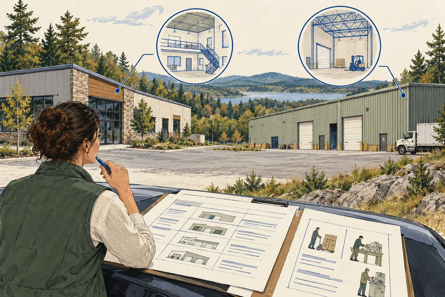
State guide
Use Manchester as a New Hampshire example for matching flex-space suites, tenant activity and occupancy documents before assuming a use can continue.
Open guide and working kit ↗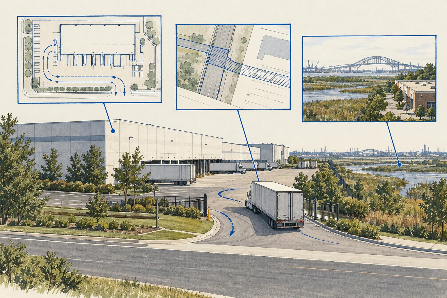
State guide
Connect NJDOT access records to private rights and site circulation before using highway proximity as evidence for a logistics acquisition.
Open guide and working kit ↗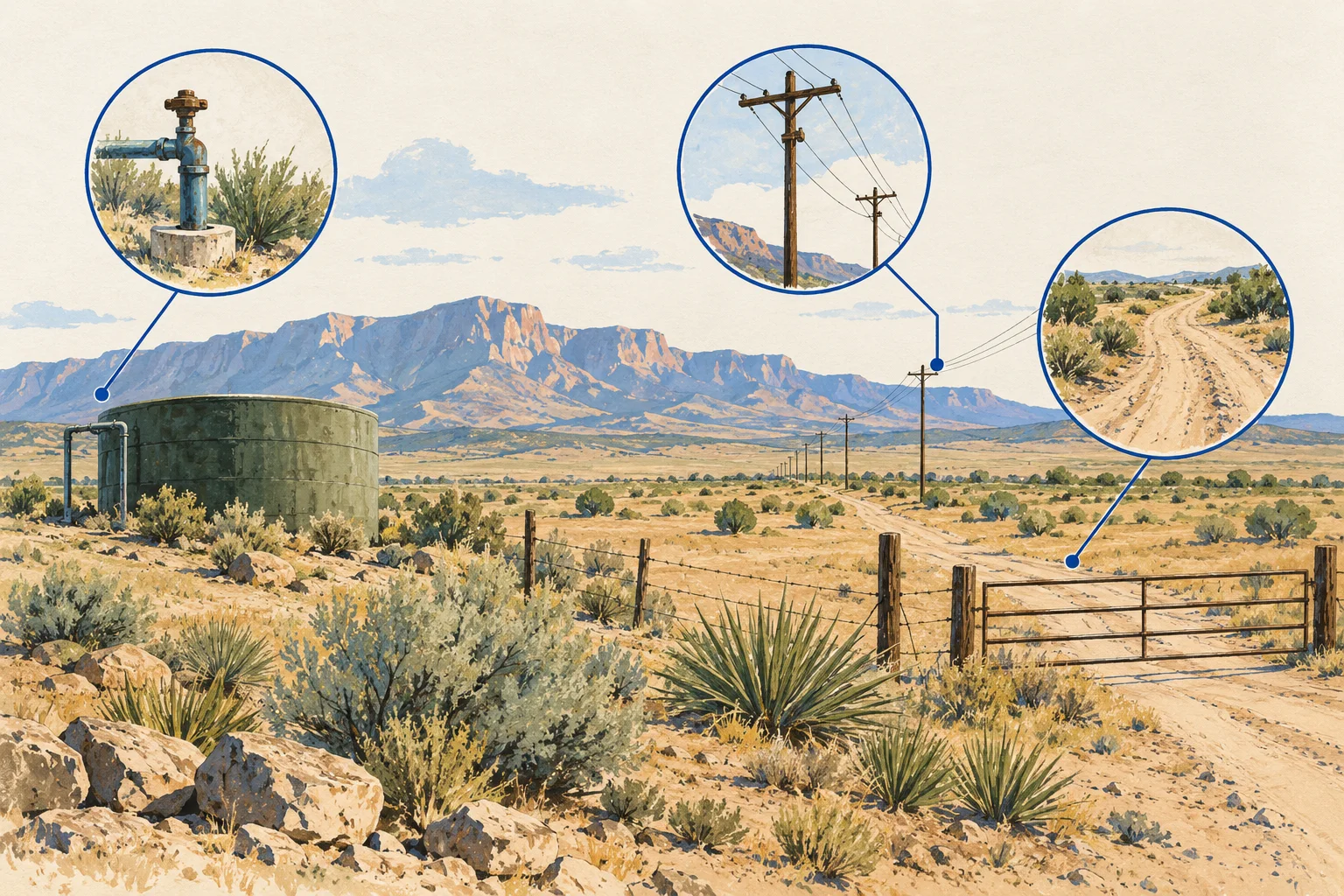
State guide
Read the OSE Municipal Water Rights layer's identifiers and status fields, then request the underlying file and a project-specific supply response.
Open guide and working kit ↗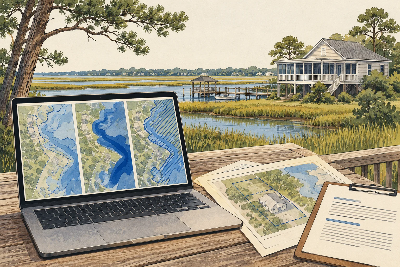
State guide
Keep effective maps, proposed changes and current-condition observations distinct when assembling a North Carolina acquisition review.
Open guide and working kit ↗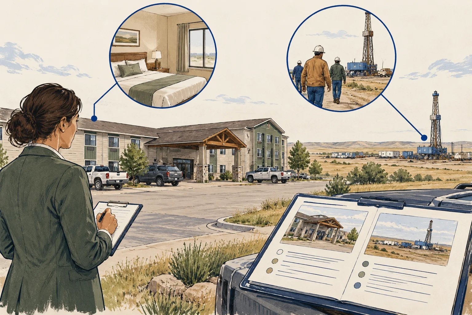
State guide
Separate regional workforce or tourism context from a property's contracted demand, room inventory and actual operating-period evidence.
Open guide and working kit ↗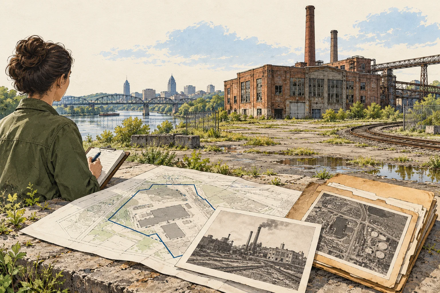
State guide
Bridge parcel, address and facility identifiers for Ohio tank-record research, preserve historical names, and document gaps for environmental review.
Open guide and working kit ↗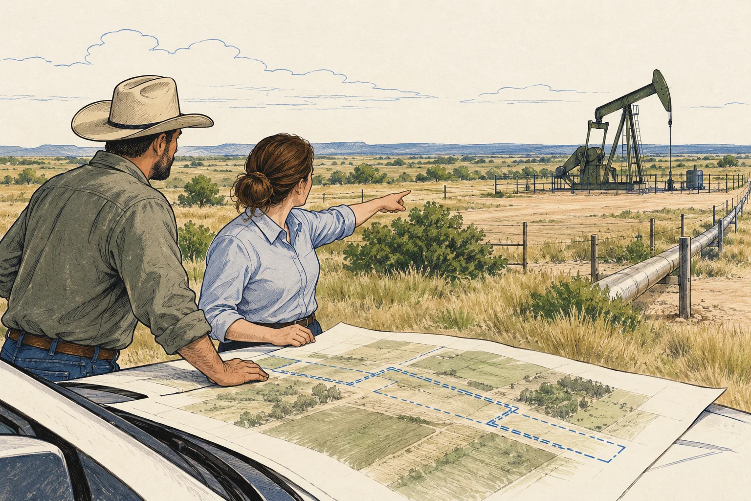
State guide
Use Oklahoma well-record paths to organize identifiers and legal descriptions while keeping surface interests, access and operating dependencies distinct.
Open guide and working kit ↗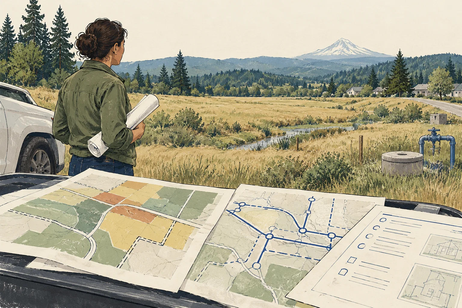
State guide
Connect urban growth boundary context to local planning and service evidence without treating a mapped designation as an approved project.
Open guide and working kit ↗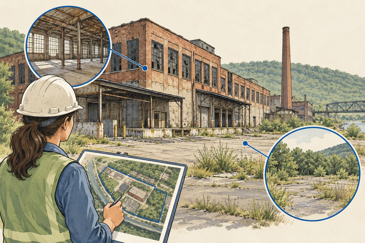
State guide
Turn a mapped Pennsylvania environmental record into a targeted request for documents, historical boundaries and proposed-work review.
Open guide and working kit ↗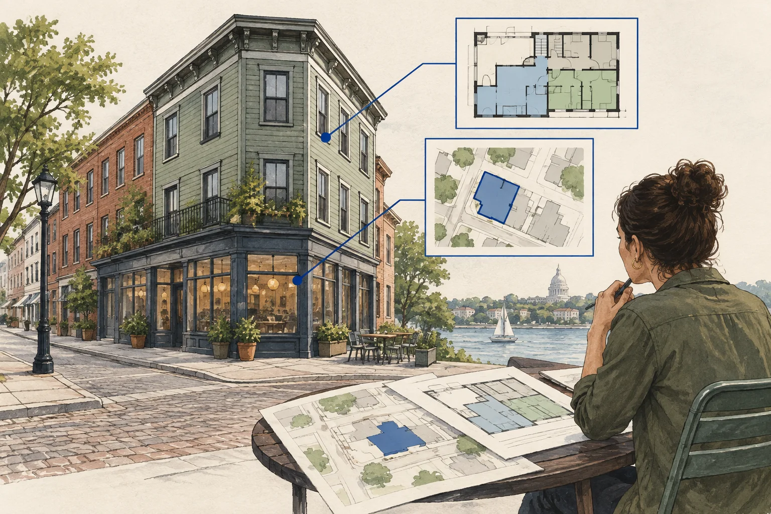
State guide
Use Providence as a Rhode Island example for connecting assessed parcels, residential units and commercial premises to the acquired income interests.
Open guide and working kit ↗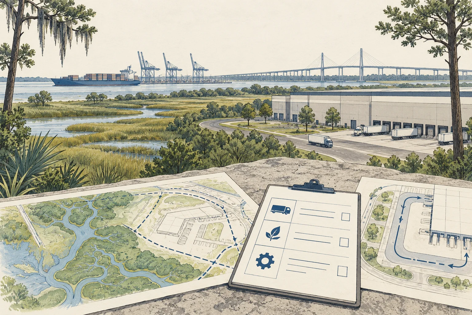
State guide
Trace SCDOT encroachment records, road responsibility and private access evidence before treating a logistics site's gate as an approved connection.
Open guide and working kit ↗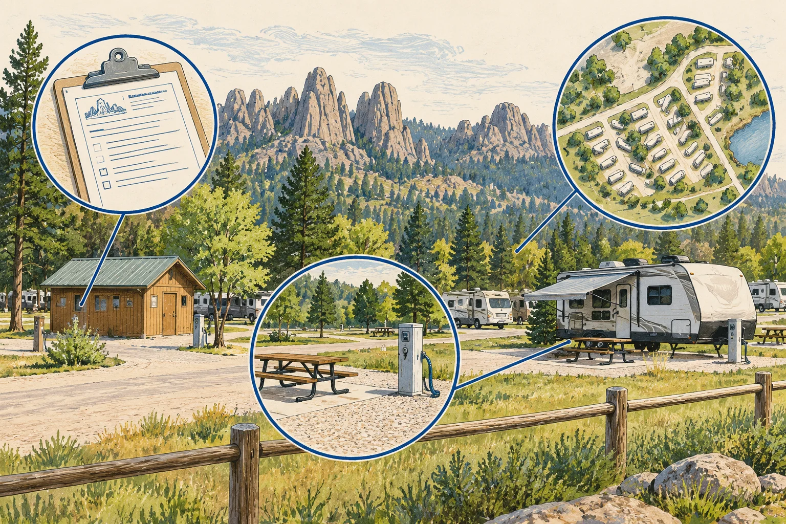
State guide
Compare campground license and layout records with the sites offered, operating season and agreements used in a South Dakota acquisition.
Open guide and working kit ↗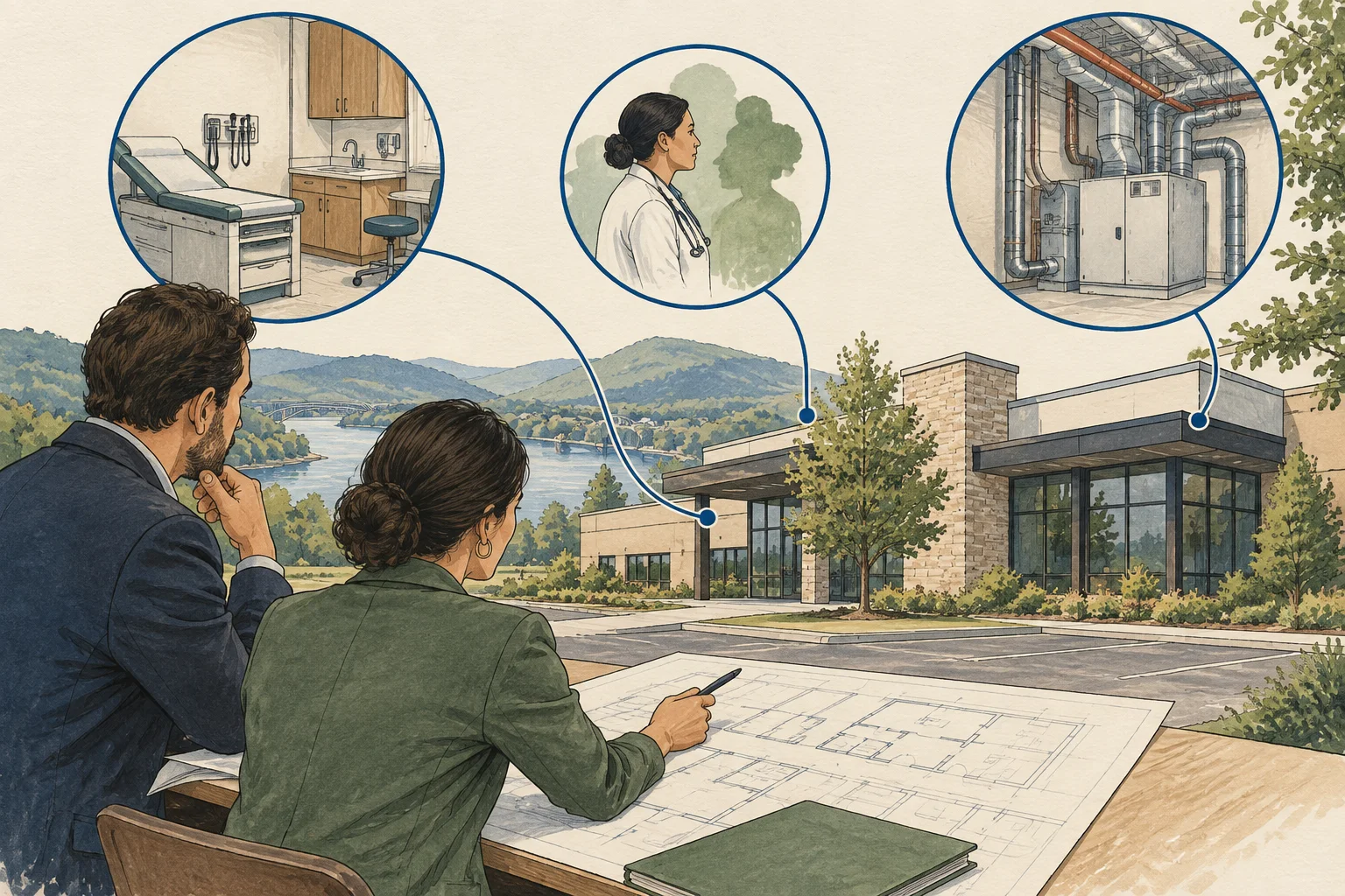
State guide
Separate the medical office, practice and any regulated facility while reviewing Tennessee record paths, fit-out duties and operating scope.
Open guide and working kit ↗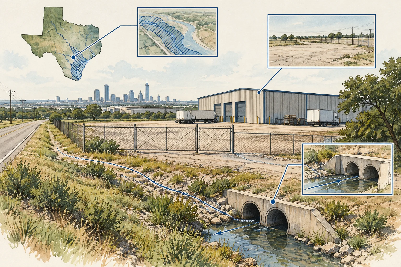
State guide
Reconcile county parcel identifiers, acreage fields and data vintages before requesting the boundary and exclusion evidence for an IOS yard review.
Open guide and working kit ↗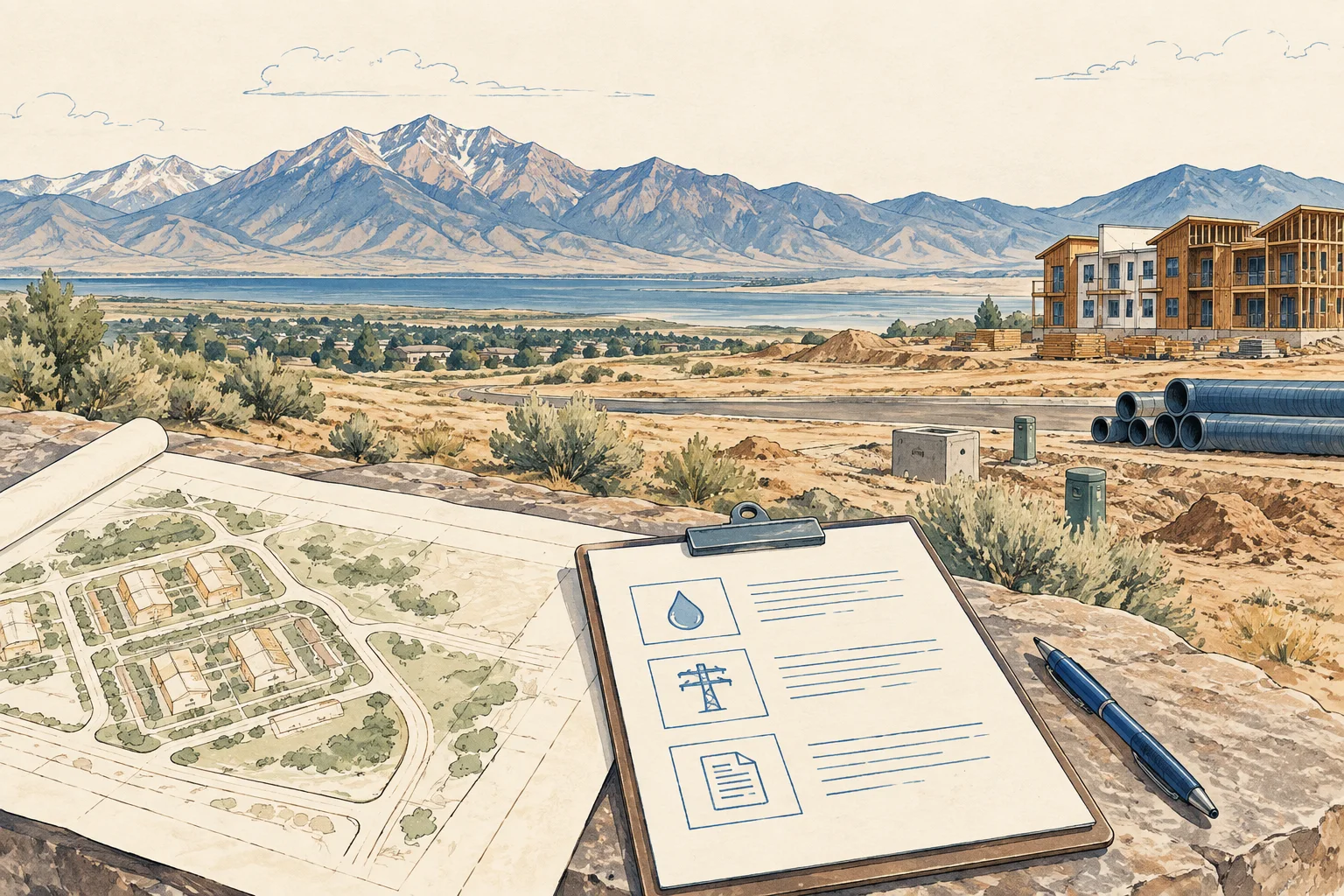
State guide
Match the current housing concept to Utah water-file references, amendments and provider responses before assuming service for proposed units.
Open guide and working kit ↗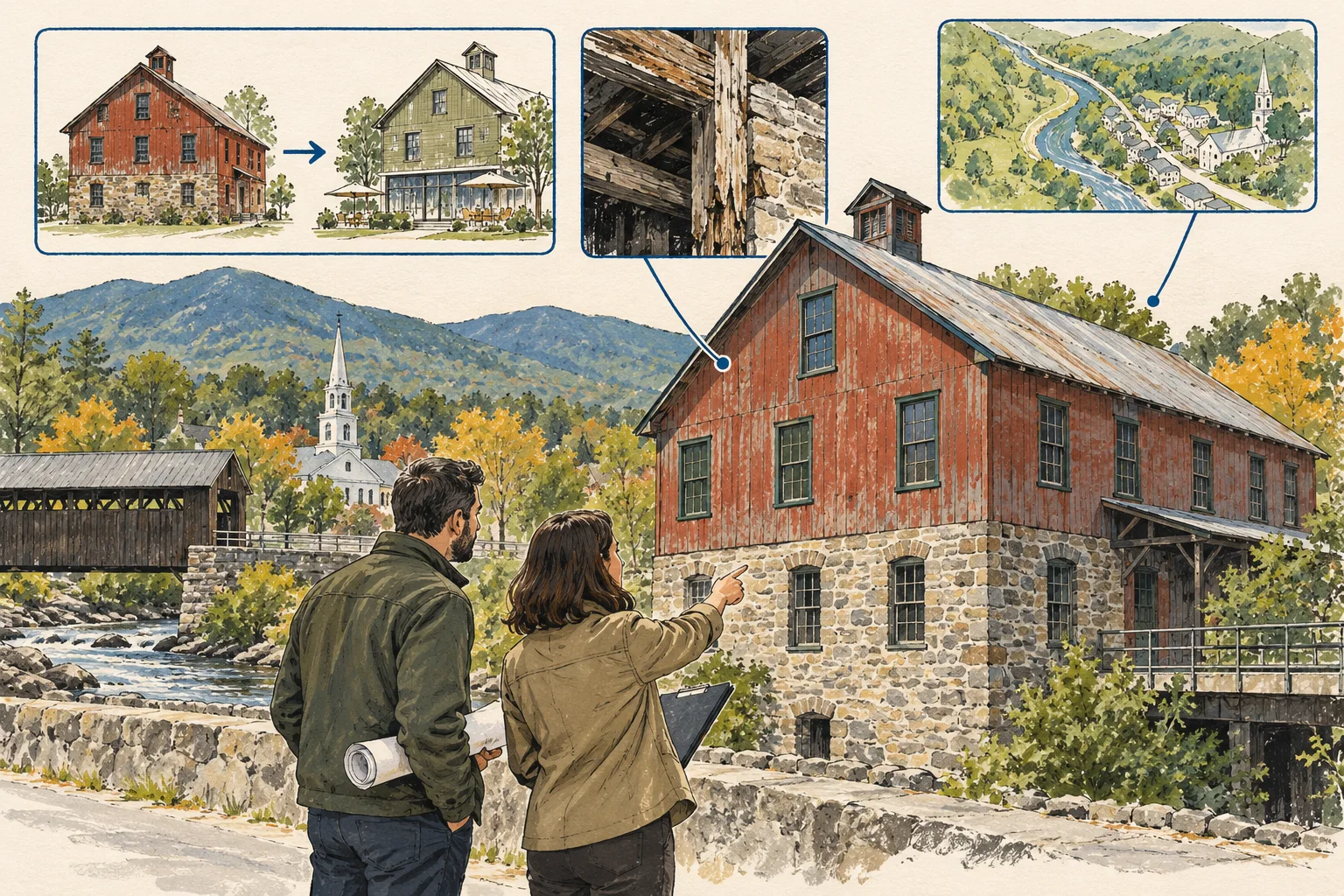
State guide
Follow project identity, decisions and amendments through the Act 250 record path before relying on an earlier approval for a proposed reuse.
Open guide and working kit ↗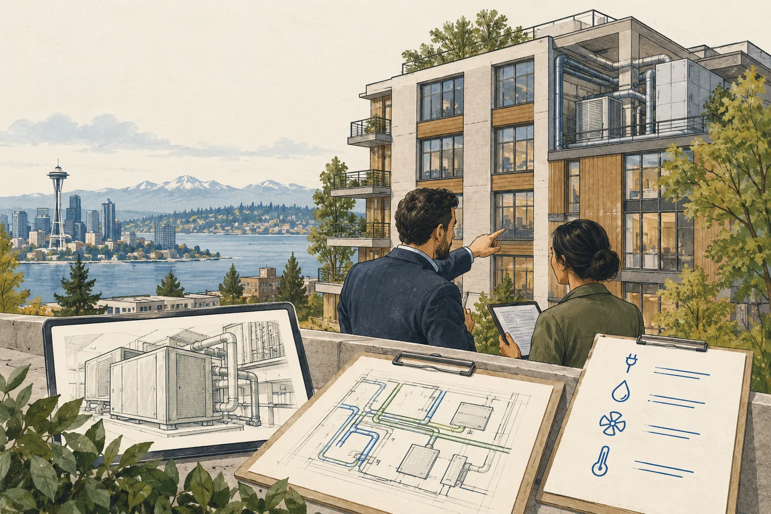
State guide
Connect the building, meters and reporting period to owner-authorized energy records before interpreting Washington Clean Buildings evidence.
Open guide and working kit ↗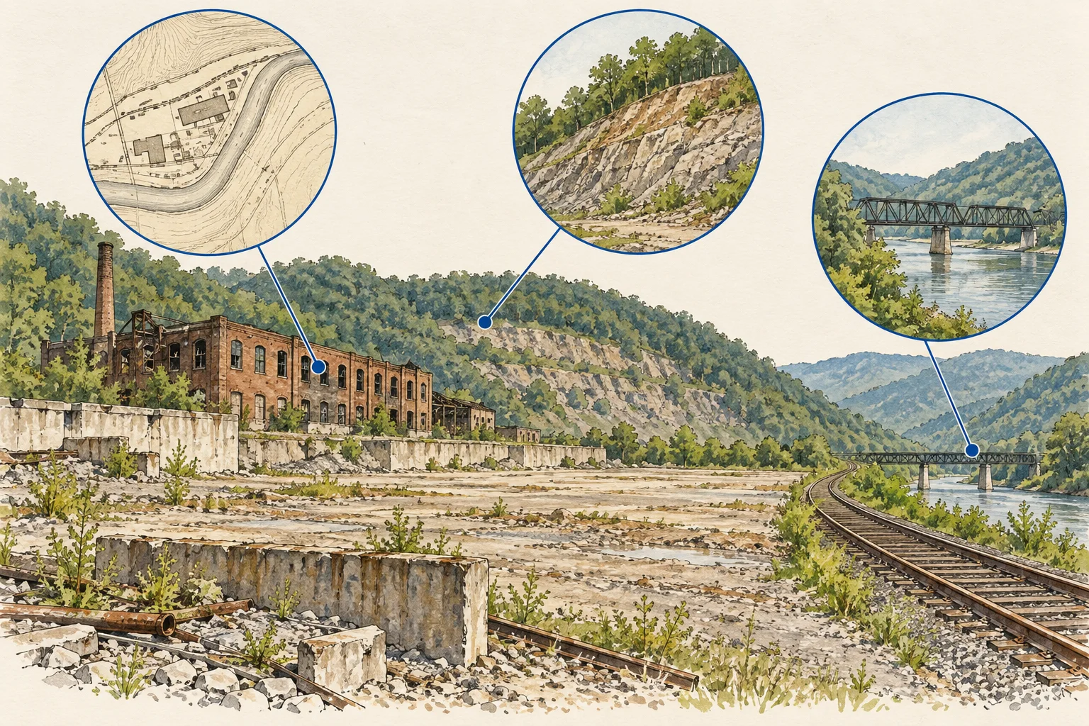
State guide
Connect West Virginia record-discovery paths to historical features and the proposed operating footprint before reviewing access or grading assumptions.
Open guide and working kit ↗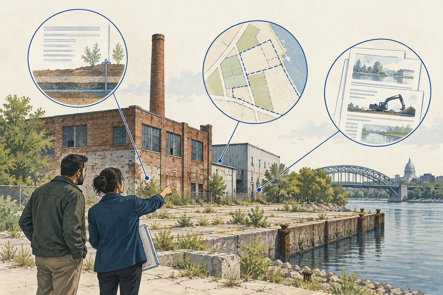
State guide
Use RR Sites Map and associated documents to connect cleanup history, ongoing obligations and the proposed work in a redevelopment review.
Open guide and working kit ↗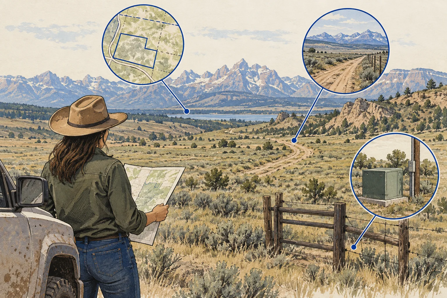
State guide
Follow the State Engineer's retrieval instructions for older groundwater permits, then connect the record to the rural property's operating questions.
Open guide and working kit ↗Evidence and scope
Loudoun County · Checked 2026-09-29
Observed schema lists GIS acreage, legal acreage, plat references and update fields.
US Census Bureau · Checked 2026-09-30
Explains geographic identifiers and their role in joining statistical information at a defined geographic level. This is not a national parcel identifier system.