
Virginia / All counties and CRE asset types

Virginia commercial property research, county by county

Start any Virginia commercial real estate search with the property identifier, its local jurisdiction and the acquisition decision you need to make. Then connect assessment, recorded ownership, land-use approvals and operating documents to the same property. The directory and working kit below support every county and any CRE asset type; choose the relevant asset guide when the operating details need a deeper review.

Statewide starting points for all 95 counties and 38 independent cities. Local record access and municipal responsibilities must be confirmed for the property. The Northern Virginia IOS research below is a focused example.

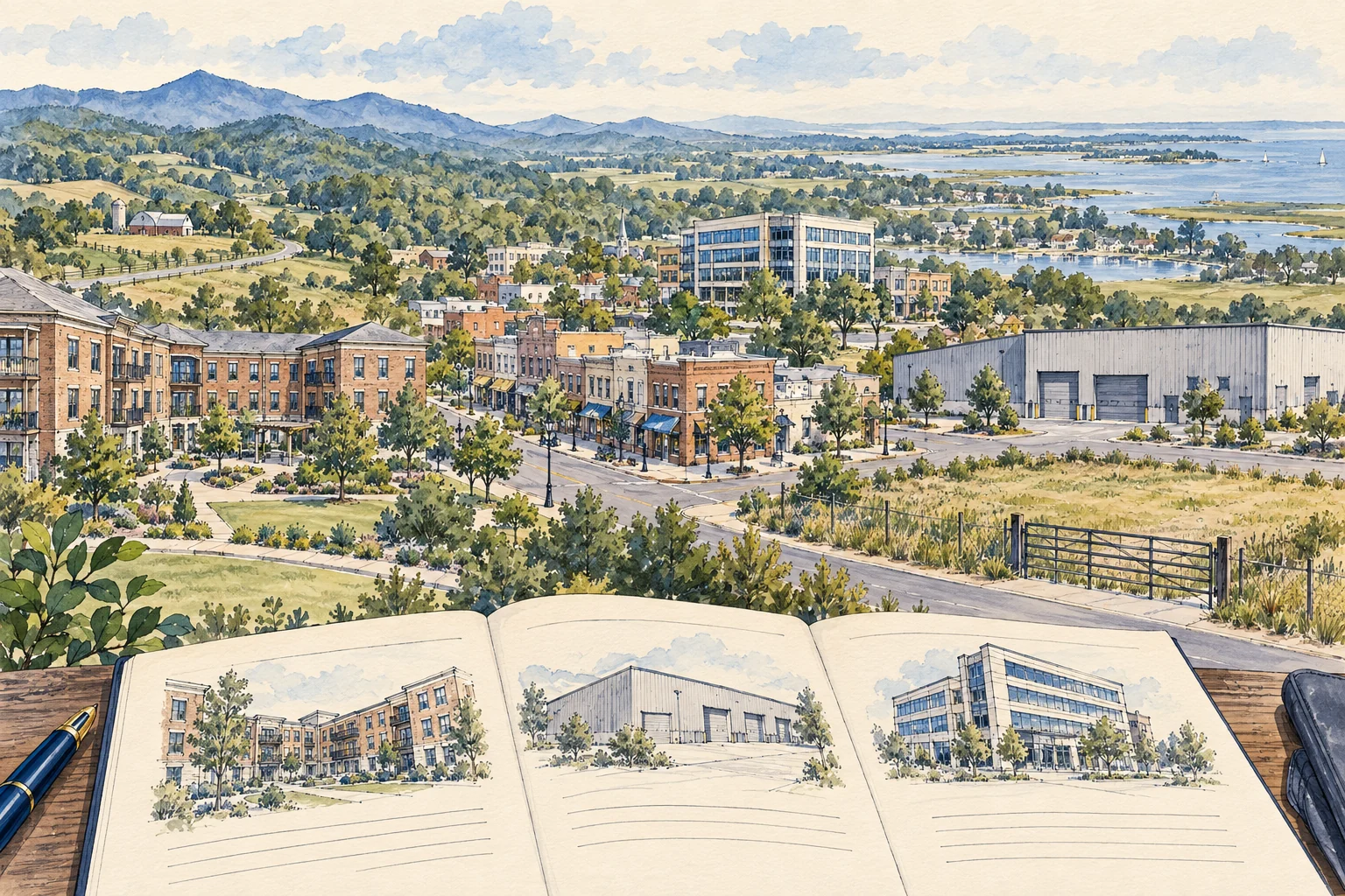
Editorial illustration of residential, industrial, retail, office and land research across Virginia.

A statewide acquisition workflow

Start with the property, the place and the decision.

01

Choose the jurisdiction before the database

Use the actual county or independent city, not only the mailing address or metro name. A town, a county and an independent city can lead to different record offices. Preserve the local parcel identifier with that jurisdiction so similarly named places do not get combined.

Source 1
02

Ask a different office for a different fact

Use the local assessment or GIS office for the parcel reference, the circuit court clerk for recorded instruments and the responsible planning or zoning office for the proposed activity. A parcel classification or map label is a lead for research, not the entire approval file.

Source 1
03

Carry the asset type into the evidence request

The statewide workflow is the same starting point for a warehouse, shopping center, apartment building, hotel or development site. What changes is the operating evidence: units, suites, bays, sites, keys, acres, licenses and contracts. Define that denominator before you compare documents.

Find the right record office

Start with the jurisdiction.

All 95 Virginia counties and 38 independent cities. Choose the jurisdiction for your property, then follow the parcel, document and approval paths for any CRE asset type.

Record paths across Virginia

Confirm the county and any incorporated town responsible for the parcel. A postal city name alone does not identify the assessment or land-use authority.

  1. 01

    Parcel and assessment

    Use Virginia's local-government directory to locate the county or independent city. From its official site, find the assessor or commissioner of the revenue and the parcel or real-estate record. Record the parcel ID and assessment year.

  2. 02

    Deed and recorded documents

    Locate the responsible circuit court clerk and confirm the land-record search route. SRA image access requires clerk authorization and a subscription; free index access is available only where the clerk has enabled it.

  3. 03

    Use, approvals and permits

    From the official local-government site, identify planning, zoning and building offices. Confirm whether county, city or town rules apply to the proposed activity, then request the relevant approvals, conditions and permit records.

Browse all 133 jurisdictions

133 of 133 jurisdictions listed alphabetically.

Jurisdiction names and FIPS identifiers: U.S. Census, January 2025. These official entry points help you locate the responsible office. Confirm the available records, access terms and currency for the property you are researching.

Five evidence tracks

Build one connected file across the record offices.

Research questionStarting record or custodianUseful next action
Parcel and assessment identityLocal assessment or GIS record, identifier and record date.Reconcile the address, parcels and improvements being purchased.Source 1
Recorded ownership and instrumentsResponsible circuit court clerk; confirm online index and image access.Retain deed or instrument identifiers and request the documents needed for title review.Source 1
Permitted use and approval conditionsResponsible local land-use office, decision documents and referenced plans.Describe the intended activity and ask which approvals and conditions govern it.
Operating and underwriting inputsSeller or operator records, leases, agreements and dated schedules.Keep observed document terms separate from assumptions and unanswered requests.
Site and development constraintsRelevant maps, surveys, access documents and professional reports.Assign the exact site question and missing evidence to the appropriate reviewer.
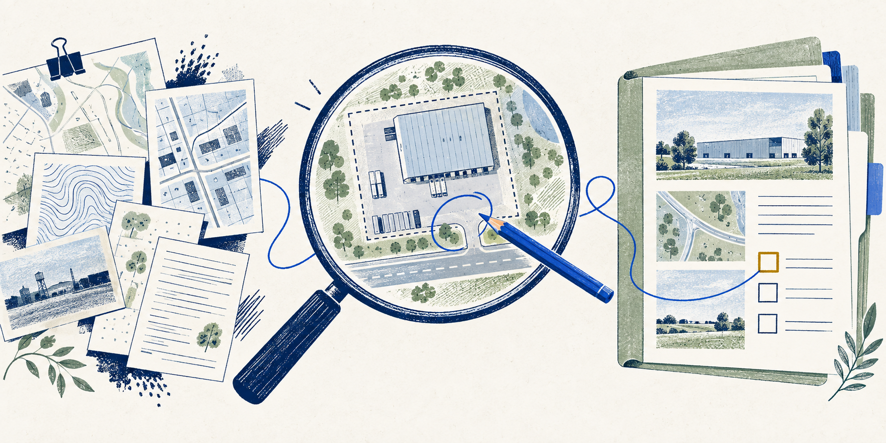
Editorial illustration of residential, industrial, retail, office and land research across Virginia.

From county choice to a review file

Use the same sequence anywhere in the state.

Choose your county or locality above, then open the statewide kit. Start one row per property and evidence question; retain separate rows where documents disagree.

  1. 01 / Define the acquisition scope

    Name the property, asset type, parcels and proposed use. Record whether you are reviewing the land, improvements, operating business or a combination. A mailing address is a starting clue; retain the official identifier once located.

  2. 02 / Identify the record custodians

    Find the local assessment and planning offices, then use the circuit court directory to identify the relevant land-record clerk. Confirm whether the clerk offers a free index, subscription images or another retrieval route.

    Source 1Source 2Source 3Source 4
  3. 03 / Capture what the document actually says

    Keep a document identifier, date, page or exhibit reference and a short observed fact in the register. If the file is missing, inaccessible or inconsistent with another record, retain that status instead of inserting a guessed answer.

  4. 04 / Request the asset-specific evidence

    Use the asset guide to identify the operating records this acquisition needs. Tie rent, inventory, area or capacity figures to a defined unit and date. Public records help establish context; operating assumptions require their own supporting files.

  5. 05 / Export the file and assign the open decisions

    Download the evidence register as CSV or text. Give each unresolved question a next request and a reviewer. A completed row organizes the work; acceptance of the documents and any legal, engineering or underwriting conclusion remain separate review steps.

Any asset, a specific evidence request

Choose the operating lens that fits your acquisition.

Asset familyEvidence to requestDecision it helps prepare
Multifamily, student or senior housingApproved residential use, unit schedule, occupancy records and applicable program or operating restrictions.Reconcile the unit count and permitted operation with the rent roll before underwriting income.
Industrial, logistics, small bay or outdoor storagePermitted activity, building and yard footprint, access and any conditional approvals.Connect the intended operation to the specific parcel and approval documents.
Retail, office, medical office or mixed useSuite and use schedule, leases, tenant improvements and occupancy or use approvals.Keep the marketed tenancy separate from the use and premises established by the documents.
Hospitality, self-storage, manufactured housing or other operating assetsProperty records plus the operating agreements, site inventory and relevant licenses or approvals.State whether the acquisition includes real estate, an operating business or both.
Land, development, agriculture or timberlandParcel boundaries, access rights, development conditions, site constraints and intended-use documents.Identify what still requires local, title, environmental or engineering review before valuing the proposed use.
Conceptual record layers for a site review: parcel information, authority records and evidence about the proposed operation.

Focused example / Northern Virginia IOS

Quarter-mile proximity can organize the first pass.

Use the report’s page 5 result as a worked example of grouping candidates for research. A chain can connect several parcels even when the parcels at its ends are farther apart. For each group, open separate questions about the operating footprint, road barriers, entrances and control. Carry those questions into the local record search. The calculation describes the report’s retained candidate set; it does not measure the share of Virginia properties available to buy or prove that a group can operate as one yard.

A useful clustering method, with a bounded conclusion

The five cluster-size buckets sum to 2,010 candidates. Of those, 1,848 are in multi-parcel clusters: 91.94%, rounding to the reported 92%. The method chains candidates within a quarter mile. That proximity does not establish shared access, common control, usable yard or an achievable assemblage.

Northern Virginia IOS report · August 2026; sample revised September 11 · PDF pages 5. We checked this arithmetic, not the underlying records.

Worked local paths / Two counties

An IOS example: Loudoun and Prince William use different paths.

Question to resolveLoudoun pathPrince William path
Which authority and rules apply?Start with the zoning FAQ’s jurisdiction and ordinance guidance, including its incorporated-town and Route 28 exceptions.Take use interpretations to Zoning Administration. Its guidance distinguishes that role from the Planning Office.Source 1Source 2
Where is the property-specific record?Use the WebLogis official zoning-map route, then LandMARC for approved rezonings and site plans. The interactive ordinance map does not show individual entitlements.Start with County Mapper, then check the ordinance, proffers and overlays. Follow ePortal for site-plan status and staff reports.Source 1Source 2
What could an incomplete search miss?The meeting directory separates newer records from the historical archive. The 2022 worked case below is in Granicus.The determination database covers issued determinations since August 1, 2024. Its guidance warns about omissions, changed facts and superseding decisions.Source 1Source 2

Worked approval example / Loudoun County

Read the action, conditions and plan as a connected file.

Woodland Plaza Tall Oaks, Lot 1 is a historical Loudoun teaching case. Follow these three steps to see why one search result rarely answers the whole use question.

  1. 01 / Find the final action

    Staff opposed the requested outdoor-storage expansion. The final action report records Board approval on December 6, 2022, subject to conditions and proffers dated October 26. Read final action PDF pages 9–10 alongside packet page 1.

    Source 1Source 2
  2. 02 / Preserve the referenced versions

    Those attachments reference a plan revised through October 14, 2022. Sheet 4 labels 19,888 square feet; Condition 3’s percentage wording needs reconciliation with the plan and staff summary. Keep the interpretation open. See packet PDF pages 4, 6, 9 and 18.

    Source 1
  3. 03 / Write the next document request

    Request current approvals, the referenced site plan, applicable entrance/access records and acceptance evidence for required improvements. The historical packet does not establish present operations or usable yard. Its runoff requirement and drawing help define the request. See packet PDF pages 7 and 17–18.

    Source 1

Before you start

Questions about statewide CRE research.

Does this guide work in every Virginia county?

Yes. The directory includes all 95 counties and all 38 independent cities, and the primary kit accepts any Virginia locality. The worked IOS research has its own narrower Northern Virginia scope. Confirm the property-specific custodian and access route before requesting documents.

Is this limited to one property type?

No. The primary guide and kit work across CRE assets. Choose the relevant asset guide for operating questions, such as apartment units, retail suites, hotel keys, storage inventory or industrial use. The specialist study and its kit remain optional.

Where should I start looking for Virginia property records?

Identify the actual county or independent city and local parcel reference. Separate the assessment office, circuit court clerk and land-use authority. The court directory and access guide below help route recorded-document requests; the locality determines the remaining offices.

Source 1Source 2Source 3Source 4
How can AI help with off-market sourcing and underwriting?

AI can organize identifiers, extract candidate fields from documents you provide, compare versions and draft missing-evidence requests. Keep the source locator with each observation and have the relevant reviewer accept it. A name match, parcel class or recorded mortgage event does not establish seller intent, current income or an investment recommendation.

What will I leave the statewide kit with?

An editable property-and-evidence register with local jurisdiction, asset type, document custodian, record locator, observed fact, unresolved question and next reviewer. Export it as CSV or text to assign the next research work. Two fictional examples show how to retain mismatches; the blank file contains your entries only.

From the page to your next task

Start with the useful output.

Statewide working kit

Virginia statewide property evidence register

Build a Virginia property evidence register from your documents and export a file with clear research requests and review owners.

Scope: Any CRE asset across all 95 Virginia counties and 38 independent cities.

Bring
Local jurisdiction and property identifier Asset type and acquisition question Documents available and unresolved requests
Leave with
Editable property-and-evidence register for any county and CRE asset Two fictional examples spanning different assets and jurisdictions CSV and readable text exports with document locators and review requests

Edition 2026-09-30.2

Optional specialist example

IOS site evidence kit

Turn a partial site file into a clear review sheet covering the operation, permissions, access and yard area.

Scope: Organize one site and proposed operation. Lessons come from the supplied regional IOS report; the example is fictional. No statewide inventory is implied.

Bring
A site nickname, locality and proposed operating use. The document references and observations you already have; unknowns are allowed.
Leave with
A downloadable plain-text site evidence sheet. Four specific next tasks with suggested owners and the evidence needed.

Edition 2026-09-30.1

Optional specialist example

Northern Virginia IOS document-review kit

Understand the local record paths, then turn the documents you have and the gaps you identify into a practical next-request brief.

Scope: Loudoun and Prince William authority-record workflows, one historical Loudoun case and a separate synthetic teaching example.

Bring
A site label and the county being researched. The specific outdoor activity under consideration. An honest indication of which use, area, access and environmental documents are available.
Leave with
A source-backed local research brief and historical record walkthrough. A prioritized list of items to confirm, request or review, with responsible reviewers. Supporting offline guide and editable evidence workbook.

Edition 2026-09-29.1

Evidence and scope

Follow each claim to its source.

Loudoun zoning FAQ

Loudoun County · Checked 2026-09-29

Official guidance on ordinance applicability, map views and property-specific records.

  • Guidance and lookup path, not a determination for a particular property.
Open original source ↗
Loudoun meetings and archives

Loudoun County · Checked 2026-09-29

Current directory to newer meeting records and historical archives.

  • Meeting dates and platforms matter. Searching one archive is not a complete approval search.
Open original source ↗
Prince William land-development FAQ

Prince William County · Checked 2026-09-29

Official routes for district, proffer, overlay and site-plan research.

  • The page does not establish a particular use approval.
Open original source ↗
Prince William Zoning Administration

Prince William County · Checked 2026-09-29

Identifies the office responsible for zoning administration and interpretations.

  • Planning cannot speak on behalf of the Zoning Administrator.
Open original source ↗
Prince William determination database

Prince William County · Checked 2026-09-29

Public determination database and its stated coverage/limitations.

  • Covers issued determinations since August 1, 2024; omissions, changed facts and supersession remain possible.
Open original source ↗
Woodland Plaza final action report, item 12

Loudoun County · Checked 2026-09-29

PDF pages 9–10 record the December 6, 2022 Board action. Report dated December 8.

  • Historical vote record. Current approvals, compliance and operations were not checked.
Open original source ↗
Woodland Plaza staff packet and attachments

Loudoun County · Checked 2026-09-29

December 6 agenda packet: staff position p. 1; conditions pp. 6–7; proffers pp. 8–10; plan sheets pp. 17–18. Page numbers are PDF viewer pages.

  • Agenda attachments and conceptual drawings. Executed copies and later amendments were not retrieved. No drawing is redistributed.
Open original source ↗
Loudoun parcel layer: field definitions

Loudoun County · Checked 2026-09-29

Observed schema lists GIS acreage, legal acreage, plat references and update fields.

  • Schema review only. No parcel query, acreage comparison or completeness audit was performed.
Open original source ↗
DEQ Environmental Data Mapper user guide

Virginia DEQ · Checked 2026-09-29

2025 guide: layer selection, filters and nearby searches, PDF pp. 7–14 and 16–17.

  • Documentation review only. No environmental search was performed for the historical case.
Open original source ↗
DEQ pollution data and reporting

Virginia DEQ · Checked 2026-09-29

Official guidance distinguishes incident summaries from underlying agency documents.

  • Document requests follow the agency process; retention may limit availability. No records request was submitted.
  • Direct page access was unavailable during this review; the relevant guidance was checked in the official search snapshot.
Open original source ↗
2026 Industrial Outdoor Storage: supplied report

NextAutomation; Caelon collaboration noted in report · Checked 2026-09-29

August 2026 regional candidate study; sample revised September 11. Page-cited methods and arithmetic reviewed September 29. Its regional label does not establish statewide coverage.

  • Report statements are attributed to the supplied edition. We checked selected arithmetic; underlying records were not reproduced.
  • Raw PDF and private identifiers are not redistributed here. Unresolved claims are omitted from page evidence.
Virginia local government directory

Commonwealth of Virginia · Checked 2026-09-30

Official county, city and town government entry points. Confirm the local assessment, GIS and land-use offices for the property.

  • Directory and method reference. No property records were retrieved or every local portal audited for this guide.
Open original source ↗


Virginia counties and independent cities

US Census Bureau · Checked 2026-09-30

January 1, 2025 county-equivalent inventory: 95 counties and 38 independent cities with Census GEOIDs. A jurisdiction inventory, not property coverage.

  • Directory and method reference. No property records were retrieved or every local portal audited for this guide.
Open original source ↗
Virginia circuit court directory

Virginia Judicial System · Checked 2026-09-30

Find the circuit court and clerk responsible for a Virginia land-record request. Some courts serve more than one locality.

  • Directory and method reference. No property records were retrieved or every local portal audited for this guide.
Open original source ↗
Virginia Secure Remote Access to land records

Virginia Judicial System · Checked 2026-09-30

Explains participating clerks, subscriber access to images and available free index-only searches. Access depends on the individual clerk.

  • Directory and method reference. No property records were retrieved or every local portal audited for this guide.
Open original source ↗