

Method / Source acceptance

Commercial property records: check a source before using it

A useful source comparison starts with the fields your acquisition workflow needs. Test identity, geographic scope, vintage and access separately, then decide which source can support a bounded next step. A source can be valuable for locating records while still being unsuitable for bulk joins or redistribution. This guide gives your team a repeatable acceptance method without presenting a nationwide coverage ranking.

Use the fictional worked example and editable worksheet to apply this method to your own documents.

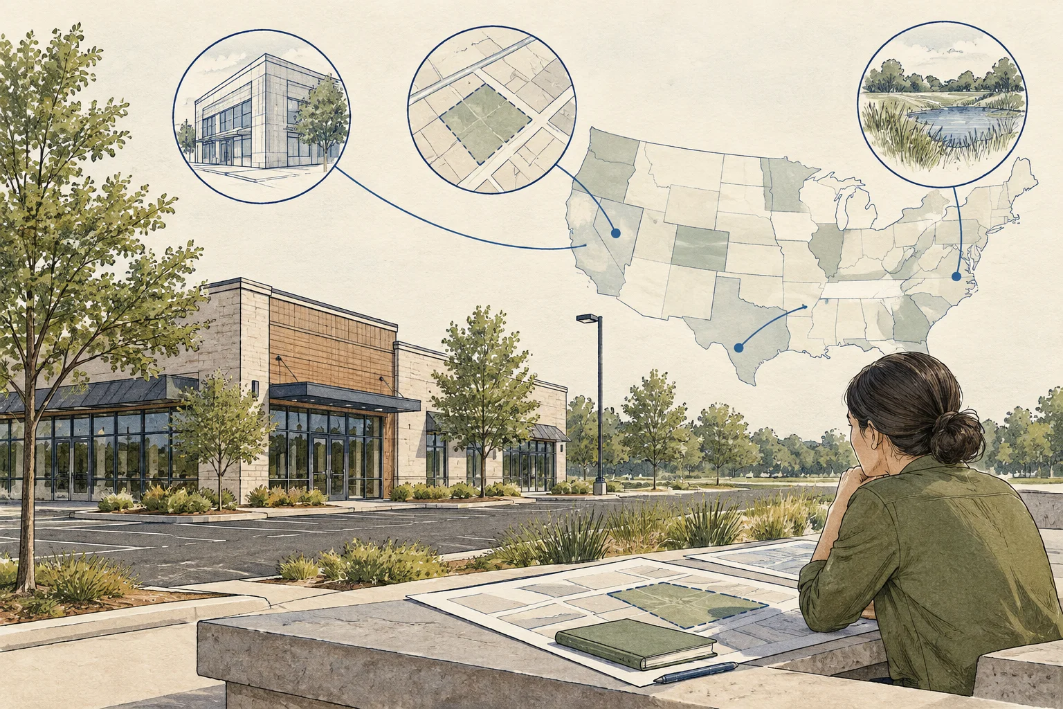
Conceptual editorial illustration of check what a source can actually deliver.

The useful distinctions

Make the review specific.

01

Choose the record before the provider

Decide whether your working row represents a parcel, building, address, owner or transaction. Census GEOIDs identify geographic areas; they should not be substituted for local property identifiers. Record the local source key and the broader geographic key as separate fields.

Source 1
02

Make freshness field-specific

The assessment year, geometry edition and recorded-document date can refer to different periods. A website’s last-modified date does not automatically describe the row you downloaded. Keep the source edition beside each field used in your screen.

Source 1
03

Separate viewing from reuse

An accessible map is useful evidence of a viewing interface. Before promising a reusable file, inspect export options and the applicable terms for that exact source. Save the restriction and assign a decision owner instead of marking the entire state available.

Observation to next action

What the evidence supports, and what to ask next.

Evidence in the fileWhat it describesNext review
Map visibleA record can be inspectedCheck whether the fields can be exported for the proposed purpose.
Identifier presentA potential join key existsTest uniqueness, leading zeros, local boundaries and unmatched rows.
Recent page dateThe website changedIdentify the actual dataset vintage and each relevant field date.
Conceptual editorial illustration of check what a source can actually deliver.

Work through the file

Source acceptance worksheet

Use this sequence with the documents available for your file. Keep a reference with each observation and turn unresolved items into explicit requests.

  1. Specify the output

    Write the required geography, row grain and minimum fields at the top of the worksheet. In the fictional exercise, the team wants one row per acquisition parcel, but source B supplies one row per address. List the fields that locate the parcel separately from any owner or contact requirement. Name an acceptable unresolved state before deciding whether a source can support the requested output.

  2. Try a bounded sample

    Select a disclosed sample and save the original rows, query and timestamps. Include the cases needed to test the intended join, such as repeated addresses or identifiers with leading zeros, rather than choosing only convenient matches. Record how the sample was selected. This guide supplies no retrieved sample: the two-county exercise is fictional and cannot establish coverage or an observed error rate.

  3. Record failures explicitly

    Keep missing keys, repeated identifiers, stale dates and prohibited uses as separate exceptions. In the fictional comparison, do not collapse several parcel rows into one address row merely to produce a match. Ask for the relationship definition and preserve the unmatched records. Assign technical mapping questions to the data analyst and reuse questions to the appropriate source owner or governance reviewer.

  4. Make an acceptance decision

    Record accepted uses, excluded uses and the next verification owner. A source might be accepted for locating records while its bulk export remains unresolved. Keep that distinction in the handoff rather than labelling an entire state ready. Retain the reviewed mapping, sample and permission evidence together, and reopen the affected check when a query, license, field definition or geographic scope changes.

Before using the output

Questions about this method.

Does this rank states by data quality?

No. It structures a source-by-source acceptance decision for a defined task. The current edition contains no measured state ranking.

What can AI do with the worksheet?

Ask AI to compare supplied field dictionaries, propose a parcel-to-address mapping and flag repeated or unmatched keys. Require the original field names and a reason for each transformation. A data reviewer should test the proposed join, while the governance reviewer accepts the intended reuse. Neither an AI mapping nor one successful lookup establishes statewide readiness.

What belongs in a source acceptance decision?

Record the intended use, required fields, geographic coverage, retrieval date, matching rules and known exceptions. Test a bounded sample and assign a reviewer before using the source in a larger workflow.

From the page to your next task

Start with the useful output.

Source acceptance and reuse register

Build an editable source acceptance and reuse register, retain document references and open decisions, then export your team's working file.

Scope: One review file using the method in the accompanying guide. The example is fictional.

Bring
A name for the review file. Evidence status, observations and document references where available.
Leave with
Source acceptance and reuse register with editable, expandable records and document locators Two fictional worked rows showing mismatches and decisions to review CSV and readable text exports with row provenance, method sources and edition A separate document-request companion with suggested reviewers

Edition 2026-09-30.1

Evidence and scope

Follow each claim to its source.

Loudoun parcel layer: field definitions

Loudoun County · Checked 2026-09-29

Observed schema lists GIS acreage, legal acreage, plat references and update fields.

  • Schema review only. No parcel query, acreage comparison or completeness audit was performed.
Open original source ↗
Understanding geographic identifiers

US Census Bureau · Checked 2026-09-30

Explains geographic identifiers and their role in joining statistical information at a defined geographic level. This is not a national parcel identifier system.

  • Method or documentation reference; no property-level extraction or market study was performed for this guide.
Open original source ↗