

Alaska / Access and operating season

Alaska property access: document the operating route

An Alaska acquisition file should explain how people, freight and utilities reach the asset during the months it will operate. A mapped road is a starting point. Build a route-by-route record of the land crossed, the permission relied upon, the physical connection and the service arrangements. That makes access assumptions visible before they become occupancy or development assumptions.

Alaska state-land record and easement sources checked September 30, 2026. Private, federal and other land interests require their own records; no route was surveyed.

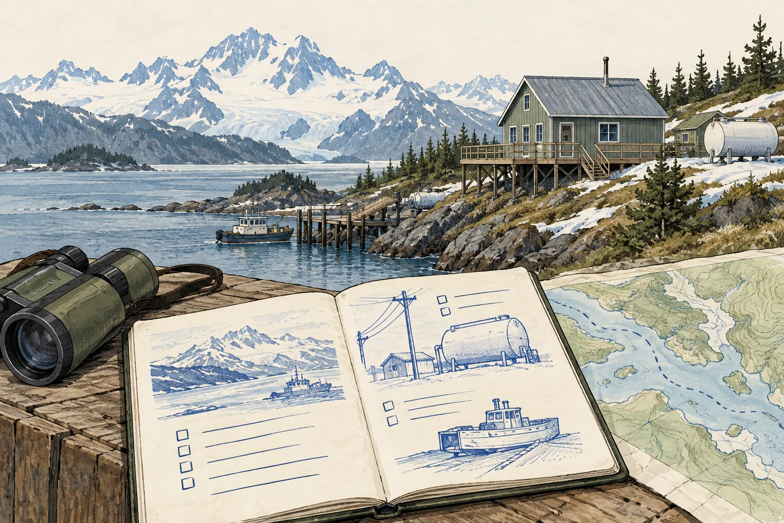
Conceptual evidence illustration for Alaska: route and seasonal service. No surveyed geography or real property depicted.

Start with the right evidence

What changes the decision

01

The map points to a record

Alaska Mapper presents land ownership and use graphically and directs users to source records. Preserve the case or document reference behind a line on the screen. A location match can help you ask for the right record; it does not settle a route’s permitted users or purpose.

Source 1
02

An easement has a defined purpose

DNR’s state-land easement guidance distinguishes authorization pathways and describes access and utility uses. For a proposed warehouse or yard, write down the specific traffic and utility activities you need reviewed. An existing crossing should be examined against that operating brief, rather than described simply as available access.

Source 1
03

Seasonal availability belongs in the operating model

Ask for the service calendar, maintenance agreement and interruption history for each critical connection. Road, barge, air, fuel and water arrangements should have separate evidence rows where relevant. These are proposed diligence questions, not assertions that any particular Alaska property requires every mode.

Different records, different questions

Keep these decisions separate

EvidenceUseful questionNext document
Map connectionWhere does the apparent route cross different land interests?Case file, recorded instrument and parcel-specific title review.Source 1
AuthorizationDoes the documented purpose match the proposed use?Executed easement and any conditions or amendments.Source 1
Operating serviceCan the business receive what it needs when it needs it?Maintenance responsibilities, delivery terms and seasonal operating records.
Conceptual Alaska research sequence, not a factual map or property inspection.

An acquisition desk workflow

Build a reviewable file

Use these steps as an editorial research method. The worksheet records what your documents support and assigns a next action to what remains unresolved.

  1. Draw a route list rather than one access label

    Start at the intended loading or visitor entrance and work outward to the public transport connection. Give every segment an identifier. List road segments, crossings and utility corridors separately so a supported segment cannot conceal an undocumented gap elsewhere in the route.

  2. Trace state-land segments to documents

    Use Alaska Mapper to identify relevant state-land records, then follow the case reference to the underlying file. Ask the DNR regional office about unresolved state-land authorization questions. Keep the map image as orientation and record the executed instrument as a separate item for professional review.

    Source 1Source 2
  3. Test the operating calendar

    Ask the seller and service providers for months of operation, maintenance obligations, interruption procedures and delivery constraints. Tie those answers to the intended tenant’s requirements. If the business depends on a particular season or delivery window, give that dependency a named reviewer and a document request.

  4. Prepare an access decision file

    Summarize which route segments have documents, which remain unknown and which conflict with the proposed activity. Request title and engineering review of the material gaps. Export the worksheet with its route references intact; a list of supported and unsupported segments is more useful than an unqualified accessible label.

Before the next request

Questions worth resolving

Does Alaska Mapper establish legal access?

No. Its role here is to locate relevant land records and frame the next request. Ask a qualified reviewer to interpret the executed instruments and the property’s title evidence. Physical road visibility, land ownership and authorization for the intended traffic are separate questions in the file.

Source 1
Can an existing state-land easement cover a new use automatically?

Do not assume that. Obtain the actual authorization, describe the proposed activity and ask the responsible authority or counsel to assess the fit. The state guidance explains the authorization path; it does not issue a determination for an acquisition or substitute for the recorded document.

Source 1
Where can AI help with an Alaska access review?

Use AI to turn supplied Alaska Mapper case references and executed easements into a route-segment register. Have it flag a segment without an instrument or an operating purpose that differs from the proposed traffic. Title and land-use reviewers interpret the documents, while the operator confirms seasonal service and the engineer reviews physical access.

Source 1Source 2

From the page to your next task

Start with the useful output.

Route and seasonal delivery register

Build an editable route and seasonal delivery register, retain document references and open decisions, then export your team's working file.

Scope: Alaska state-land record and easement sources checked September 30, 2026. Private, federal and other land interests require their own records; no route was surveyed.

Bring
Your case name Document status, observations and references for each evidence row
Leave with
Route and seasonal delivery register with editable, expandable records and document locators Two fictional worked rows showing mismatches and decisions to review CSV and readable text exports with row provenance, method sources and edition A separate document-request companion with suggested reviewers

Edition 2026-09-30.1

Evidence and scope

Follow each claim to its source.

Alaska Mapper

Alaska Department of Natural Resources · Checked 2026-09-30

Map index of state land ownership and uses with links to underlying records.

  • The graphical illustration is not the official land record or proof of private access.
Open original source ↗
Easements

Alaska DNR Division of Mining, Land and Water · Checked 2026-09-30

State-land easement application and authorization pathways.

  • State-land guidance does not establish private parcel title, route condition or seasonal service.
Open original source ↗