

Louisiana / Map editions and drainage

Louisiana flood research: preserve the map edition

A Louisiana commercial property review should state which flood-map layer was used, where the building sits and what evidence describes the site’s own drainage and elevations. LSU AgCenter’s service directory shows why version control matters: parish services include different map statuses and dated editions. Use that distinction to build a precise request file instead of reducing the acquisition to a single flood label.

LSU AgCenter service-directory metadata checked September 30, 2026. No parcel overlay, elevation analysis, insurance quote or property flood determination was performed.

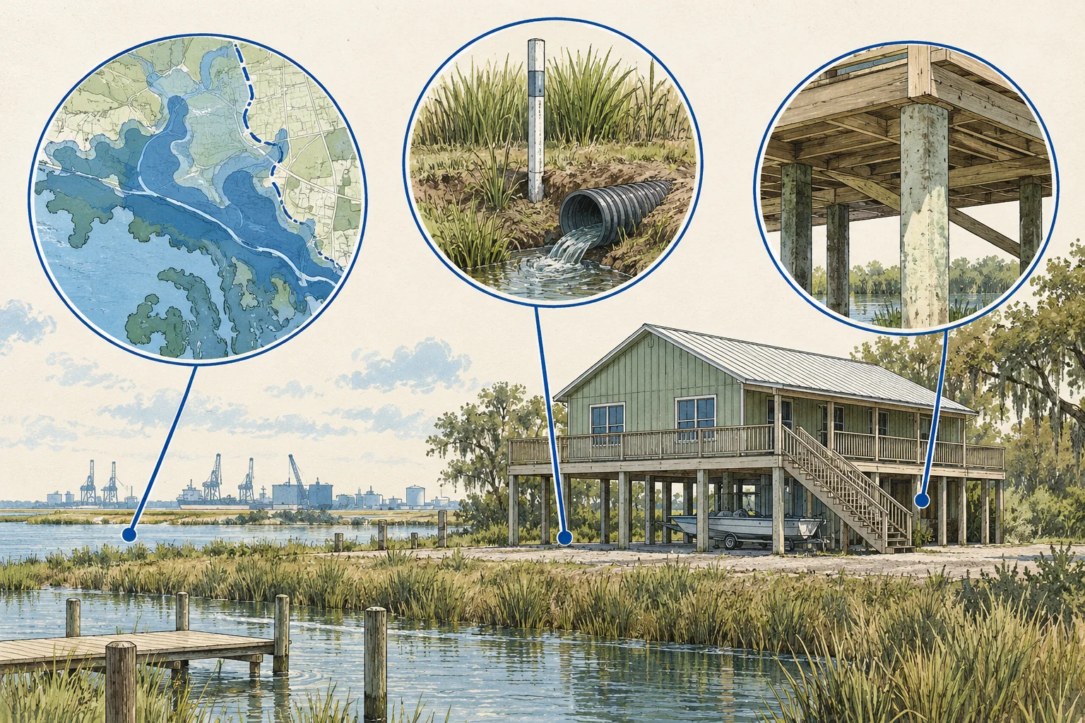
Conceptual evidence illustration for Louisiana: flood-map version and site evidence. No surveyed geography or real property depicted.

Start with the right evidence

What changes the decision

01

Layer status belongs beside the observation

The LSU AgCenter directory lists parish services with effective, preliminary, future and historical labels, often with dates in the service name. Preserve the exact layer reference when recording a map observation. A screenshot without that context can mix different map editions and leave the reviewer unable to reproduce the question.

Source 1
02

A property address is not a building footprint

Ask for the building’s location and the offered boundary on a suitable plan. Treat any address pin as orientation until the actual structures and access are located. A large or irregular parcel can contain several relevant positions, so one point should not become a whole-property condition by default.

03

Drainage and insurance need their own evidence

Request the available site drainage information, elevation documents and dated insurance terms through the appropriate reviewers. Those questions may relate to the map but are not answered by its category alone. Keep physical water-management observations and insurance assumptions separate rather than inferring either from a displayed zone.

Different records, different questions

Keep these decisions separate

EvidenceUseful questionNext document
Map layer referenceWhich edition and status produced the observation?Exact service or map reference, date and confirmation of the appropriate official map record.Source 1
Building and access locationWhere are the structures and critical routes relative to the reviewed area?Current site plan and relevant survey or elevation evidence.
Drainage and insuranceWhat site conditions and terms affect the acquisition assumptions?Engineer-reviewed drainage documents and insurer or broker response for the specified property.
Conceptual Louisiana research sequence, not a factual map or property inspection.

An acquisition desk workflow

Build a reviewable file

Use these steps as an editorial research method. The worksheet records what your documents support and assigns a next action to what remains unresolved.

  1. Define the location being reviewed

    List the buildings, yards and access routes that matter to the operating plan. Obtain a plan identifying them within the offered property. This gives the reviewer specific locations to examine and prevents a street-center address marker from silently defining the condition of every part of the acquisition.

  2. Record the exact map edition

    Use the LSU AgCenter directory as a discovery aid for the parish and layer version. Preserve the service name and status, then obtain the appropriate official map record for the intended decision through the responsible authority. Where editions differ, state the difference and ask which document applies rather than selecting the more favorable image.

    Source 1
  3. Request physical and operational evidence

    Ask the seller for drainage plans, available elevation documents, relevant maintenance records and observed water-related issues. Have the engineer identify missing measurements and the appropriate scope of review. Keep the seller’s statements labelled as statements until their evidentiary basis is clear; this worksheet does not inspect or model the site.

  4. Align the underwriting assumptions

    Ask the insurance adviser for terms based on the specified property and coverage, and ask the engineer to explain any relevant physical work. Record quote dates, scope and unresolved questions separately. Export the map-version, location, drainage and insurance requests so the acquisition team can see which assumptions still depend on evidence.

Before the next request

Questions worth resolving

Does one flood-map screenshot describe the entire property?

Not reliably without its location and layer context. Identify the structures and operating areas being reviewed, retain the exact map reference and ask the appropriate professional to interpret the relevant evidence. This guide helps specify the question; it does not assign a flood condition to a parcel or building.

Why keep preliminary and historical layers in the research notes?

The directory exposes distinct statuses and editions. They can explain why two supplied images differ, but they should not be substituted for one another without explanation. Record each image’s source and purpose and obtain the appropriate official record for the decision rather than treating every visible layer as equivalent.

Source 1
How can AI help with Louisiana flood-related diligence?

Ask AI to preserve the exact LSU AgCenter parish service name, layer status and date for every supplied map observation, then link each to the building plan and drainage references. It can flag incompatible editions or an address pin used as a footprint. The floodplain reviewer and engineer interpret the evidence; the insurance adviser resolves coverage terms.

Source 1

From the page to your next task

Start with the useful output.

Flood-edition and site-feature register

Build an editable flood-edition and site-feature register, retain document references and open decisions, then export your team's working file.

Scope: LSU AgCenter service-directory metadata checked September 30, 2026. No parcel overlay, elevation analysis, insurance quote or property flood determination was performed.

Bring
Your case name Document status, observations and references for each evidence row
Leave with
Flood-edition and site-feature register with editable, expandable records and document locators Two fictional worked rows showing mismatches and decisions to review CSV and readable text exports with row provenance, method sources and edition A separate document-request companion with suggested reviewers

Edition 2026-09-30.1

Evidence and scope

Follow each claim to its source.

Floodmaps service directory

LSU AgCenter · Checked 2026-09-30

Parish-specific flood-map services with effective, preliminary, future, historical and dated layer names.

  • Service metadata is discovery context, not a site flood determination, drainage study, elevation survey or insurance quote.
Open original source ↗