

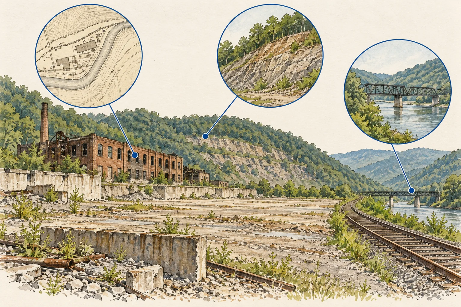
West Virginia / Historical land evidence

West Virginia industrial land: trace mining and site history

For West Virginia industrial or service land, evaluate the part of the property the proposed operation actually needs. A broad tract boundary may include terrain and historical activity that do not match the usable platform described in an offering. Connect the available mining and environmental records to a defined operating footprint, then ask the technical reviewers which ground, access and construction questions remain unresolved.

West Virginia DEP’s public data resources provide the record-discovery paths. No mining feature query, terrain measurement or property-condition assessment has been completed.

Conceptual illustration of documents and decisions for West Virginia commercial property research

What changes the decision

West Virginia industrial land: connect mining history, terrain and the operating footprint

01

Several program records may describe one area

DEP’s data directory links separate environmental, mining, oil-and-gas and document resources. Those systems describe different regulated activities and records. Keep the program, identifier and date with each item instead of merging every nearby feature into a single property-risk label. The directory is a starting map of sources, not a complete site dossier.

Source 1
02

The operating platform needs a documented boundary

Ask the seller for the plan behind any usable-acreage claim and identify access, working surfaces and areas outside the intended operation. Retain the basis of each area description. A tract’s gross acreage or a visual impression from an aerial image cannot by itself establish the platform available for the buyer’s specific use.

03

Historic records need a proposed-work question

Give the technical reviewers the planned grading, excavation, loading and access changes alongside the document chronology. Ask them to identify the records and investigations needed for that proposal. Keep mapped historical features and professional interpretations distinct so the research file neither hides a relevant issue nor invents a condition from proximity alone.

Read the records together

Evidence and its investment use

EvidenceWhat it establishesNext decision
Program identifier and recordEvidence of a described activity in a particular source system.Match location and scope before attaching it to the property.
Operating platform and access planThe area and route the proposed use depends on.Request the basis of usable-area and access assumptions.
Technical review of proposed workAn attributed judgment tied to the actual development scenario.Identify further investigation, design and document needs.
Conceptual illustration of the West Virginia research workflow

Put it to work

Operating-platform and history review

The kit creates a terrain-and-history review brief for one operating proposal. It keeps source discovery separate from measured site utility and gives each unresolved issue a reviewer and next action.

  1. Draw the intended operating footprint

    Request a plan identifying the platform, entrance and route needed for the proposed use. Record whether dimensions come from a survey, engineering plan, seller statement or preliminary image interpretation. Leave unsupported usable-acreage statements unresolved until the basis is supplied and reviewed.

  2. Build the program-source index

    Use DEP’s data directory to identify relevant mining, environmental and document paths. For records actually retrieved, retain identifiers, dates and location descriptions. Preserve uncertain matches and note unsearched programs rather than claiming the directory review itself amounts to a completed environmental or mining-history search.

    Source 1
  3. Ask targeted technical questions

    Provide the proposed grading, loading and access requirements to the appropriate engineering and environmental reviewers. Ask how the supplied history affects the investigations they recommend. Keep geotechnical, drainage, environmental and title questions assigned to the right roles instead of combining them into a generic feasibility request.

  4. Write the acquisition dependency list

    Summarize the documented operating footprint and the status of each technical question. Identify which assumptions require more evidence before they can support the purchase case. Export the worksheet with the concept plan so the buyer can coordinate requests without describing unperformed investigations as completed diligence.

Before the next conversation

Questions this review should answer

Does a mining map establish the condition of the acquired ground?

It can identify records for review, but the condition question needs location matching and appropriate technical work. Preserve the source’s scope and ask the qualified reviewer what it implies for the proposed operation. Do not turn a nearby mapped feature into a definitive site-condition claim.

Can gross acreage support a price per usable acre comparison?

Only when the denominator is clearly defined and supported. Request the plan and method behind the represented usable area, then record exclusions and access dependencies. Keep the gross area visible separately so an operating-platform estimate is not mistaken for a surveyed or approved development area.

What should AI produce from the record packet?

AI can group documents by program identifier, trace dates and flag location mismatches against the supplied plan. It can prepare separate questions for geotechnical, environmental and title reviewers. It should not infer slope stability, ground capacity or unrestricted access from the absence of a record.

From the page to your next task

Start with the useful output.

Mining-history-to-operating-platform bridge

Build an editable mining-history-to-operating-platform bridge, retain document references and open decisions, then export your team's working file.

Scope: Terrain and history

Bring
A working file name; use a non-sensitive label for your project. Your document references and observations, or leave missing evidence marked unknown.
Leave with
Mining-history-to-operating-platform bridge with editable, expandable records and document locators Two fictional worked rows showing mismatches and decisions to review CSV and readable text exports with row provenance, method sources and edition A separate document-request companion with suggested reviewers

Edition 2026-09-30.1

Evidence and scope

Follow each claim to its source.

DEP Data and Information

West Virginia Department of Environmental Protection · Checked 2026-09-30

Directory of environmental, mining, oil-and-gas and document data resources.

  • Directory review only; no property record extraction, mining assessment or geotechnical conclusion is included.
Open original source ↗