

Oregon / Planning and service dependencies

Oregon development land: separate boundary and approval

For Oregon development land, being inside an urban growth boundary is the start of a planning inquiry. Build a sequence from boundary status to the applicable local plan, proposed use and service assumptions. That sequence makes the acquisition question specific: which conditions still separate this tract and this project from a supportable development scenario?

Oregon DLCD’s Goal 14 overview supplies the statewide planning context. Local plan interpretation, project approval and engineering remain property-specific.

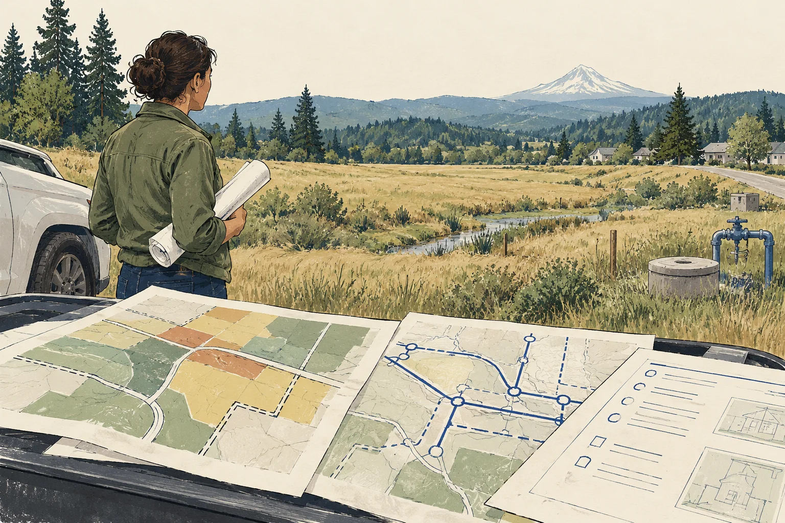
Conceptual illustration of documents and decisions for Oregon commercial property research

What changes the decision

Oregon development land: distinguish the urban growth boundary from a buildable project

01

The growth boundary has a defined planning role

DLCD’s Goal 14 overview explains the urban growth boundary as a tool for directing urban development and planning for land and services. It describes its place in city comprehensive planning. Use the boundary as a research classification, then identify the local planning documents that apply to the proposed activity rather than treating the boundary line as a development permit.

Source 1
02

Distinguish boundary, jurisdiction and use review

Ask which local government reviews the tract and how the intended use is treated in its applicable plan and zoning. Keep any annexation or other jurisdictional question explicit. A broad urban designation does not answer the same question as a project-specific local review, especially when an offering describes future residential or industrial potential without naming a proposal.

03

Service assumptions should follow the actual phasing

Request the proposed water, sewer and transportation approach with a phase plan. Ask who is responsible for off-site work and which documents support the schedule. Do not infer present connection capacity from the planning objective of serving urban land; infrastructure design and project commitments need their own evidence.

Read the records together

Evidence and its investment use

EvidenceWhat it establishesNext decision
Urban growth boundaryA planning boundary with a stated source and version.Identify the local planning and jurisdiction questions for the tract.
Applicable local plan and use reviewThe planning framework and response for a defined proposal.Record unresolved approvals and any scope conditions.
Service and phasing evidenceThe documented infrastructure assumptions for development.Separate present service from future work and responsibilities.
Conceptual illustration of the Oregon research workflow

Put it to work

Growth-boundary to project review

The worksheet helps land buyers move from a broad growth narrative to an actionable local research brief. It treats each unresolved stage as a question to answer, not a reason to invent an all-or-nothing land rating.

  1. Record the planning location

    Preserve the growth-boundary reference and the parcel or tract description used for the screen. Identify the local reviewing authority and any uncertain jurisdictional issue. Keep source versions visible so an older offering map can be compared with the current documents used by the project team.

    Source 1
  2. Describe a concrete development scenario

    Write the proposed uses, approximate layout assumptions and development phases. Ask the planner which local documents and approvals address that specific scenario. Avoid requesting a generic buildable answer when the buyer has not defined what is intended to be built or operated.

  3. Build the service responsibility schedule

    Ask the civil engineer and relevant providers to identify service routes, off-site work and required project inputs. Record who must provide or fund each component and what remains unconfirmed. Keep preliminary concepts separate from documented provider positions and approved project requirements.

  4. Set the evidence needed for the next decision

    Summarize the boundary and local-planning findings alongside the unresolved service work. Assign the next request to a specific reviewer role. Export the kit so the buyer can decide whether to refine the proposal, commission further analysis or proceed with clearly stated conditions.

Before the next conversation

Questions this review should answer

Does inside the boundary mean ready to build?

The boundary provides planning context. A purchase decision still needs the applicable local use review and the project’s infrastructure evidence. Keep those stages separate so a land brochure’s urban-growth claim does not become an unsupported assertion about permits, connection capacity or construction timing.

Is land outside the boundary automatically irrelevant?

Do not make that blanket conclusion from this guide. The applicable planning framework and proposed use require their own review. Start with the location and intended activity, then ask the qualified local reviewer which rules and documents apply rather than applying an automatic statewide exclusion.

How can AI improve a land-acquisition brief?

AI can compare plan versions, extract explicit conditions and maintain a document-linked responsibility schedule. It should preserve the distinction between planning designation, project approval and service evidence. Have the planner and engineer approve interpretations before the acquisition team relies on them.

From the page to your next task

Start with the useful output.

Growth-boundary-to-phase dependency register

Build an editable growth-boundary-to-phase dependency register, retain document references and open decisions, then export your team's working file.

Scope: Land planning

Bring
A working file name; use a non-sensitive label for your project. Your document references and observations, or leave missing evidence marked unknown.
Leave with
Growth-boundary-to-phase dependency register with editable, expandable records and document locators Two fictional worked rows showing mismatches and decisions to review CSV and readable text exports with row provenance, method sources and edition A separate document-request companion with suggested reviewers

Edition 2026-09-30.1

Evidence and scope

Follow each claim to its source.

Goal 14: Urbanization

Oregon Department of Land Conservation and Development · Checked 2026-09-30

Statewide overview of urban growth boundaries and their comprehensive-planning role.

  • Does not establish a tract’s current boundary position, local zoning, annexation status or service availability.
Open original source ↗