

North Carolina / Flood-map status

North Carolina flood research: separate map and study status

A North Carolina flood screen should say which map and which question it answers. The effective regulatory map, a preliminary study and a live water-level display can all be useful, but they should not be flattened into a single flood-risk label. Build a dated evidence sheet that connects each source to the building, site access and proposed use being evaluated.

State mapping resources support this editorial research method. No property flood determination, engineering conclusion or insurance quote is provided.

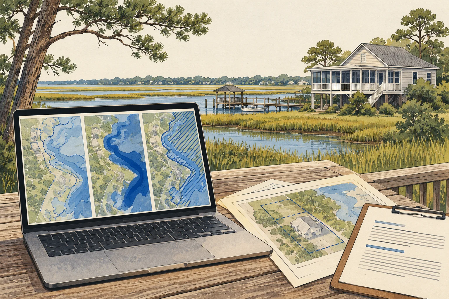
Conceptual illustration of documents and decisions for North Carolina commercial property research

What changes the decision

North Carolina CRE flood research: keep effective maps, proposed changes and live conditions apart

01

Study stage is part of the evidence

North Carolina’s Floodplain Mapping Program distinguishes discovery, engineering, preliminary and effective stages. Record the stage and map date with every screenshot or exported reference. A newer preliminary product and an effective product may serve different review purposes; the source date alone is not enough to decide which statement belongs in the acquisition memo.

Source 1
02

A map change needs its own document trail

The state resource page links Letters of Map Change, including conditional and final map-change paths. For a property affected by a claimed change, request the actual document and referenced scope. Do not assume a proposed project or pending request has already changed the applicable map treatment for the entire parcel.

Source 1
03

Live conditions answer a different operating question

The same state resources distinguish FIMAN’s real-time conditions from floodplain study products. Use current-condition information for its stated purpose and preserve its observation time. For acquisition planning, separately ask how access, drainage and operating interruptions should be reviewed; a quiet gauge today does not settle a longer-term site-design question.

Source 1

Read the records together

Evidence and its investment use

EvidenceWhat it establishesNext decision
Effective map referenceThe identified effective mapping product for the review.Record panel, date and the exact location evaluated.
Preliminary study or change documentA proposed or documented change with a stated status.Ask the local reviewer how it affects this project’s decision.
Live-condition displayTime-specific monitoring information.Keep operational observations separate from regulatory mapping conclusions.
Conceptual illustration of the North Carolina research workflow

Put it to work

Flood-map edition and site-use review

The worksheet keeps map versions and unresolved property questions together. Use it when a listing screenshot, lender request and engineer’s review appear to describe different flood conditions.

  1. Define what must remain usable

    Mark the building, loading or parking areas and primary access route on a dated plan. Identify the activity the buyer needs to protect. This makes the research question more precise than whether any part of a large parcel touches a shaded map area.

  2. Capture each relevant map edition

    Record the effective product and any preliminary study separately, including the source URL and stage. Preserve the map extent and location used for the screen. If an owner references a map change, add a separate request for the actual letter and its supporting scope.

    Source 1
  3. Request a property-specific interpretation

    Give the local floodplain reviewer and appropriate engineer the same plan and map references. Ask which documents govern the proposed action and what site information remains necessary. Retain their attributed responses, particularly where the parcel, building and access route raise different questions.

  4. Write the operating and acquisition implications

    Translate the reviewers’ findings into specific decisions about design, further assessment or operating assumptions. Keep insurance questions assigned to the insurance professional. Export the kit with unresolved items visible so a broad label such as outside the flood zone does not conceal an unreviewed entrance or proposed addition.

Before the next conversation

Questions this review should answer

Should I use the newest available map?

Record both its date and status. The useful choice depends on the question: an effective mapping reference and a preliminary study are not interchangeable. Ask the local reviewer how the identified products apply to the proposed action, and preserve that explanation alongside the maps.

Does a map-change reference cover the whole property?

Read the actual document and referenced location rather than assuming parcel-wide treatment. Request the supporting scope when the seller provides only a letter number or summary. A qualified reviewer should reconcile the letter, site plan and proposed work before the acquisition team relies on it.

How can AI support flood research?

AI can organize panel references, dates, map stages and reviewer correspondence, and flag contradictory descriptions. It should not infer elevations or certify risk from a screenshot. The useful output is a traceable question list tied to the building and access route, not an unsupported yes-or-no investment score.

From the page to your next task

Start with the useful output.

Map-change and access-footprint register

Build an editable map-change and access-footprint register, retain document references and open decisions, then export your team's working file.

Scope: Flood evidence

Bring
A working file name; use a non-sensitive label for your project. Your document references and observations, or leave missing evidence marked unknown.
Leave with
Map-change and access-footprint register with editable, expandable records and document locators Two fictional worked rows showing mismatches and decisions to review CSV and readable text exports with row provenance, method sources and edition A separate document-request companion with suggested reviewers

Edition 2026-09-30.1

Evidence and scope

Follow each claim to its source.

North Carolina Floodplain Mapping Program resources

North Carolina Floodplain Mapping Program · Checked 2026-09-30

Flood-study stages, map-change resources and distinction from FIMAN monitoring tools.

  • Source pages were reviewed; no parcel-level mapping query, elevation analysis or insurance determination was performed.
Open original source ↗