

Arkansas / Park and parcel identity

Arkansas mobile home parks: reconcile sites and parcels

For an Arkansas manufactured-housing acquisition, the first research task is defining the community being offered. A parcel point, an aerial cluster of roofs and a rent roll represent different units. Build a cross-reference between land, leased sites, homes and utility responsibilities before converting any of them into a park count or an income assumption.

Arkansas parcel-layer metadata checked September 30, 2026. Community and operating questions below are an editorial diligence method, not a researched park inventory.

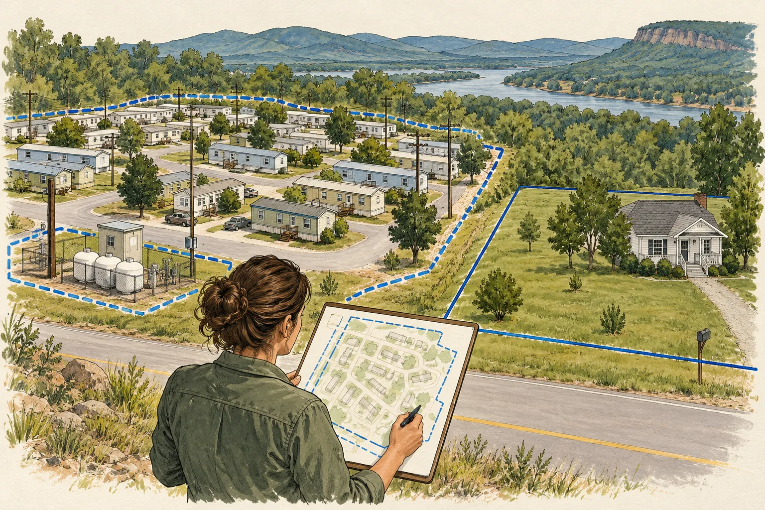
Conceptual evidence illustration for Arkansas: community identity and site count. No surveyed geography or real property depicted.

Start with the right evidence

What changes the decision

01

A parcel point cannot define a park

The Arkansas layer reviewed is explicitly a parcel-centroid point layer, with county assessment provenance. Use it to locate candidate records, not to draw an operating boundary. Its metadata also describes county-supplied snapshots, so a retrieval date must not be mistaken for a recent survey or live assessment update.

Source 1
02

Count leased sites and homes separately

Request a site register with one row per site and separate columns for occupancy and home ownership. A vacant site, a tenant-owned home and a park-owned rental home affect different parts of the acquisition. Preserve those distinctions when reconciling a marketing count with the operating documents.

03

Utility responsibility can change the business scope

Ask who owns, operates and maintains each water, wastewater, electric and road component relevant to the community. Attach the agreements or plans that support each answer. This is a document request, not a finding that a particular park has private systems or deferred maintenance.

Different records, different questions

Keep these decisions separate

EvidenceUseful questionNext document
Parcel centroidWhich assessment record might relate to the location?County parcel record and boundary evidence for the land offered.Source 1
Community site registerWhich sites exist and which are included in the operation?Dated site plan, rent roll and reconciliation of inactive or duplicate rows.
Home inventoryWhich homes form part of the sale rather than the land tenancy?Home ownership schedule, transaction exclusions and supporting records.
Conceptual Arkansas research sequence, not a factual map or property inspection.

An acquisition desk workflow

Build a reviewable file

Use these steps as an editorial research method. The worksheet records what your documents support and assigns a next action to what remains unresolved.

  1. Set the acquisition boundary

    Ask the seller to identify the land and operational components included in the offer. Keep adjacent acreage, expansion ideas and current leased sites in separate columns. An acquisition can be worth examining even when these do not align, but the mismatch should be visible before a unit count is published.

  2. Use the state point layer as an index

    Record the candidate county and parcel identifier from the centroid layer, then request the county’s underlying assessment and boundary records. Preserve source vintage and geometry type in the working file. Do not create a surveyed community outline by buffering a point or grouping neighboring points automatically.

    Source 1
  3. Reconcile the site schedule

    Match the seller’s site plan against the rent roll using site identifiers, not just street addresses. Flag double entries, inactive sites, mixed rent categories and homes being sold separately. Have the property manager explain the differences before the acquisition analyst chooses a denominator for occupancy or rent comparisons.

  4. Document the service obligations

    Add utility and road responsibility to the same community file. Request ownership and maintenance agreements, service records and any applicable system documents from the seller or responsible provider. Export a short list of unresolved boundaries, site counts and obligations for the operating and transaction teams to review.

Before the next request

Questions worth resolving

Can the Arkansas parcel layer tell me how many parks exist?

Not from the reviewed centroid metadata. A parcel record is a tax-record unit, while a community may involve several parcels and many sites. This guide does not provide a park census. A defensible inventory would require a defined community rule and independently reviewed matches beyond these points.

Source 1
Should every visible manufactured home become a rentable site?

No. Request the operating site schedule and a plan, then distinguish homes, leased sites and land outside the offered operation. Imagery may help you formulate a question, but it does not establish tenancy, lawful site capacity, ownership or the number of income-producing spaces.

Can AI help build an Arkansas manufactured-housing record?

Use AI to cross-reference county parcel identifiers from the centroid source with a supplied site plan, rent roll and home schedule. Require it to label point geometry and preserve many-site-to-one-parcel relationships. A manager resolves site-count conflicts, a title reviewer confirms the offered boundary, and a utilities specialist reviews service responsibilities.

Source 1

From the page to your next task

Start with the useful output.

Community site and interest crosswalk

Build an editable community site and interest crosswalk, retain document references and open decisions, then export your team's working file.

Scope: Arkansas parcel-layer metadata checked September 30, 2026. Community and operating questions below are an editorial diligence method, not a researched park inventory.

Bring
Your case name Document status, observations and references for each evidence row
Leave with
Community site and interest crosswalk with editable, expandable records and document locators Two fictional worked rows showing mismatches and decisions to review CSV and readable text exports with row provenance, method sources and edition A separate document-request companion with suggested reviewers

Edition 2026-09-30.1

Evidence and scope

Follow each claim to its source.

PARCEL_CENTROID_CAMP layer metadata

Arkansas GIS Office · Checked 2026-09-30

Parcel centroid point layer with county assessment provenance and update caveats.

  • Point geometry is not a community boundary; county-supplied assessment snapshots do not verify homes, tenancy or title.
Open original source ↗