

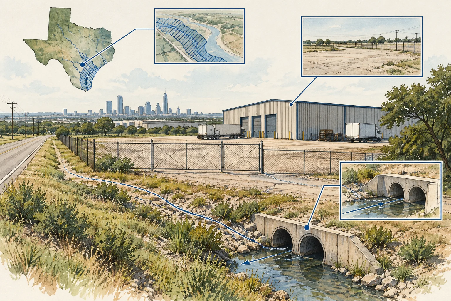
Texas / County parcel definitions

Texas industrial parcels: check the fields before the yard

A Texas parcel comparison should preserve the county record behind each field before it becomes an industrial-yard ranking. Start with the source vintage and field meaning, then separate gross parcel area from the operating area the buyer actually needs. The useful output is a cross-county research file with traceable differences and specific site-review questions, not a uniform score built on unlike inputs.

Texas Geographic Information Office parcel-program guidance informs this editorial method. No county dataset was downloaded and no site’s usable yard or approval status is established.

Conceptual illustration of documents and decisions for Texas commercial property research

What changes the decision

Texas industrial land: reconcile county parcel fields before estimating usable yard

01

State aggregation does not remove county differences

TxGIO explains that county appraisal districts maintain parcel information and that its program harmonizes contributed data without editing parcel geometry. It also notes that local sources may offer newer information or additional fields. Record the originating county and vintage so a statewide-format field is not mistaken for a uniform, freshly verified local fact.

Source 1
02

Mapped area and usable yard answer different questions

For an IOS proposal, ask which portions of the tract are actually represented as operating yard. Identify buildings, drainage, access, shared areas and other exclusions in the supplied plan. Keep measured, reported and inferred areas separate until a qualified reviewer provides the basis for a usable-area conclusion.

03

Compare the operating proposals as well as the records

A parking yard, equipment-storage site and contractor operation can require different layouts and review questions. Write the intended activity before screening candidates. When a county field is missing or ambiguous, retain the uncertainty rather than substituting a favorable value that makes the comparison appear more complete.

Read the records together

Evidence and its investment use

EvidenceWhat it establishesNext decision
County parcel source and vintageThe origin and meaning of the property record used.Resolve field differences before cross-county comparison.
Gross parcel geometry or areaA mapped or reported property extent within source limitations.Do not label it operational yard or surveyed area.
Use-specific site evidenceThe supplied plan and professional review for the intended activity.Determine which area and access assumptions can support the case.
Conceptual illustration of the Texas research workflow

Put it to work

County parcel to usable-yard review

Use the kit to audit a shortlist before commissioning deeper site work. It preserves source differences and gives the engineer or planner a concrete question about the proposed operating area.

  1. Create the source crosswalk

    For each candidate, record the county source, source date and definitions of the fields being compared. Retain original field names beside normalized labels. Use TxGIO’s guidance to identify when a local record should be checked instead of assuming a harmonized statewide file contains the latest local information.

    Source 1
  2. Define the proposed yard activity

    Describe the stored items or vehicles, access pattern, structures and operating assumptions. Ask the seller for a current plan showing the areas represented as usable. Keep an aerial interpretation separate from a measured or professionally reviewed site plan so the origin of each area estimate remains visible.

  3. Reconcile the exclusions and permissions

    Have the appropriate professionals review access, drainage, setbacks and the applicable local-use documents for that proposal. Record the resulting exclusions and judgments with references. Avoid treating the appraisal classification or an existing surface as evidence that every part of the tract can support the intended operation.

  4. Produce a comparable acquisition brief

    Show source quality, gross area and the status of the operating-area review in separate columns. Explain unresolved differences instead of hiding them in a score. Export the worksheet with assigned reviewer tasks so the next acquisition decision rests on consistent evidence and explicit remaining assumptions.

Before the next conversation

Questions this review should answer

Can I compare the same field name across Texas counties?

Only after checking its source meaning, units and vintage. Harmonized output helps organize records, but it does not erase the underlying county differences. Retain the original values and references, and flag ambiguous or missing definitions before using them in a comparative property screen.

Does parcel acreage tell me how much IOS yard I have?

It describes a property-area measure within the source’s limitations. Usable operating area needs a proposal-specific review of the site and relevant constraints. Keep that conclusion separate and attributed to the professional or measurement evidence that actually supports it.

What can an AI sourcing workflow reliably organize?

AI can normalize documented fields, preserve county provenance and flag inconsistent units or stale source dates. It can also draft the site-review requests. It should not fill unknown yard area with gross acreage, infer local permission from an appraisal code or present a desktop screen as surveyed capacity.

From the page to your next task

Start with the useful output.

County-parcel-to-operating-yard bridge

Build an editable county-parcel-to-operating-yard bridge, retain document references and open decisions, then export your team's working file.

Scope: Industrial yard

Bring
A working file name; use a non-sensitive label for your project. Your document references and observations, or leave missing evidence marked unknown.
Leave with
County-parcel-to-operating-yard bridge with editable, expandable records and document locators Two fictional worked rows showing mismatches and decisions to review CSV and readable text exports with row provenance, method sources and edition A separate document-request companion with suggested reviewers

Edition 2026-09-30.1

Evidence and scope

Follow each claim to its source.

Land Parcels

Texas Geographic Information Office · Checked 2026-09-30

State parcel aggregation, county provenance, schema harmonization and source limitations.

  • No property features were extracted; parcel data is not a survey or a determination of usable yard, zoning or permissions.
Open original source ↗