

Kansas / Wichita zoning example

Wichita outdoor storage: find the zoning case behind the label

For a Kansas outdoor-storage acquisition, ask what the proposed activity actually is and which local records support it. The Wichita-Sedgwick example provides separate map layers for jurisdiction, zoning and cases. Use those paths to reach the underlying documents, then compare the documented use and layout with the buyer’s intended storage operation before estimating usable yard.

Wichita-Sedgwick official map pathways checked September 30, 2026. Other Kansas jurisdictions need their own authority checks; no parcel is declared approved for outdoor storage.

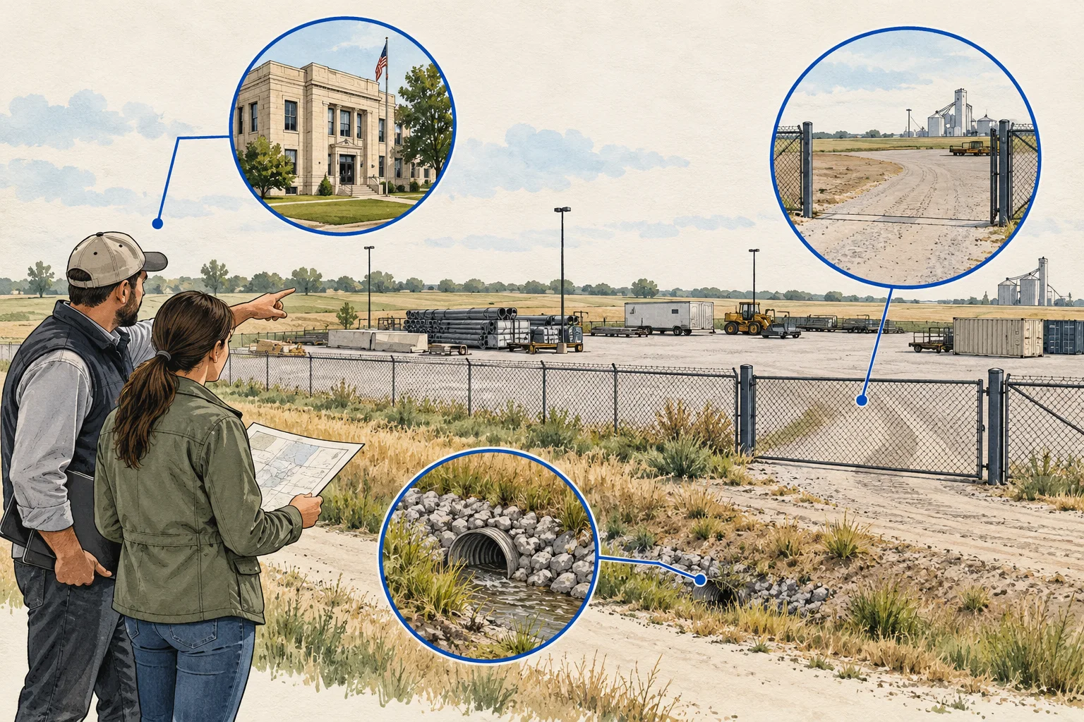
Conceptual evidence illustration for Kansas: outdoor-storage use and case file. No surveyed geography or real property depicted.

Start with the right evidence

What changes the decision

01

Jurisdiction comes before interpreting a district

Wichita’s official map guidance includes city limits and annexations alongside zoning information. Locate the responsible jurisdiction before seeking a use answer. A property marketed by its nearest city or postal address should not be assigned that city’s rules without checking the actual administrative boundary and relevant authority.

Source 1
02

A zoning case can add necessary context

The city points researchers to zoning cases, planning drawings and city or county GIS viewers. Treat the district label as an index to a more complete question. Request the applicable case, decision and plan, preserving their dates and revisions rather than assuming the map label contains every site-specific condition.

Source 1
03

Describe the storage operation precisely

List the materials or vehicles, duration, handling activity, customers and operating hours the proposal assumes. Ask the planner which use description and records need review. The method deliberately avoids claiming that equipment storage, vehicle parking, salvage and accessory storage are interchangeable activities under local rules.

Different records, different questions

Keep these decisions separate

EvidenceUseful questionNext document
Jurisdiction layerWhich local authority should answer the use question?Boundary confirmation and the responsible planning or zoning office.Source 1
Zoning and case referenceWhich decision or plan is relevant to the site?Complete case record, final action and referenced plan revision.Source 1
Yard operating layoutWhere could the proposed activity physically occur?Current site plan, access evidence and engineer-reviewed circulation or drainage questions.
Conceptual Kansas research sequence, not a factual map or property inspection.

An acquisition desk workflow

Build a reviewable file

Use these steps as an editorial research method. The worksheet records what your documents support and assigns a next action to what remains unresolved.

  1. Write a plain-language operating brief

    Describe what will be stored and what activity occurs beyond passive storage. Add access, handling and operating-time assumptions. This gives the planning reviewer a concrete use to assess and prevents the acquisition team from using industrial outdoor storage as an umbrella term for several materially different operations.

  2. Check boundaries and map references

    For the Wichita-Sedgwick example, use the official city or county viewer paths and identify the jurisdiction, zoning and relevant cases. Record the map layer and lookup date. Keep the case identifier as a request for underlying evidence rather than taking a colored polygon as a complete permission statement.

    Source 1
  3. Read the decision and its referenced plan

    Request the final action, conditions and the exact drawing revision it references. Separate staff discussion, an application proposal and adopted action in your notes. Ask the responsible planner to clarify any ambiguity about the proposed activity; do not infer permission from an application title or a nearby approved property.

  4. Connect the use answer to a physical plan

    Ask the engineer to identify access, circulation, drainage and other layout questions for the proposed operation. Keep gross land area separate from the area supported by the reviewed plan. Export the worksheet’s jurisdiction, decision, layout and operating-scope requests so unresolved permission and geometry questions remain distinct.

Before the next request

Questions worth resolving

Does a Kansas industrial zoning label establish outdoor-storage permission?

Not by itself in this workflow. Identify the local authority, describe the actual operation and obtain the relevant rule or case response. The Wichita-Sedgwick source is a record-navigation example. It is not a statewide interpretation and does not establish that a particular storage activity is allowed on a site.

Source 1
Why request the plan revision as well as the decision?

The proposed layout may change during review, and a decision may refer to a particular drawing. Keeping the date and revision with the final action makes the evidence usable. Ask the planner or counsel to resolve conflicts rather than selecting whichever drawing offers the most apparent yard area.

How can AI assist a Kansas outdoor-storage use review?

Ask AI to organize the Wichita-Sedgwick jurisdiction and case references alongside the supplied final action, conditions and plan revisions. Have it distinguish the application proposal from the adopted document and flag a revision mismatch. The planning adviser resolves use questions with the authority; the engineer reviews the resulting layout and circulation assumptions.

Source 1

From the page to your next task

Start with the useful output.

Outdoor-use authority and condition register

Build an editable outdoor-use authority and condition register, retain document references and open decisions, then export your team's working file.

Scope: Wichita-Sedgwick official map pathways checked September 30, 2026. Other Kansas jurisdictions need their own authority checks; no parcel is declared approved for outdoor storage.

Bring
Your case name Document status, observations and references for each evidence row
Leave with
Outdoor-use authority and condition register with editable, expandable records and document locators Two fictional worked rows showing mismatches and decisions to review CSV and readable text exports with row provenance, method sources and edition A separate document-request companion with suggested reviewers

Edition 2026-09-30.1

Evidence and scope

Follow each claim to its source.

Map Search - GIS

City of Wichita and Wichita-Sedgwick County Planning · Checked 2026-09-30

Official city and county GIS pathways for zoning, cases, city limits, annexations, plans and recorded plats.

  • This is a bounded Wichita-Sedgwick example, not a statewide zoning rule or parcel-specific use determination.
Open original source ↗