

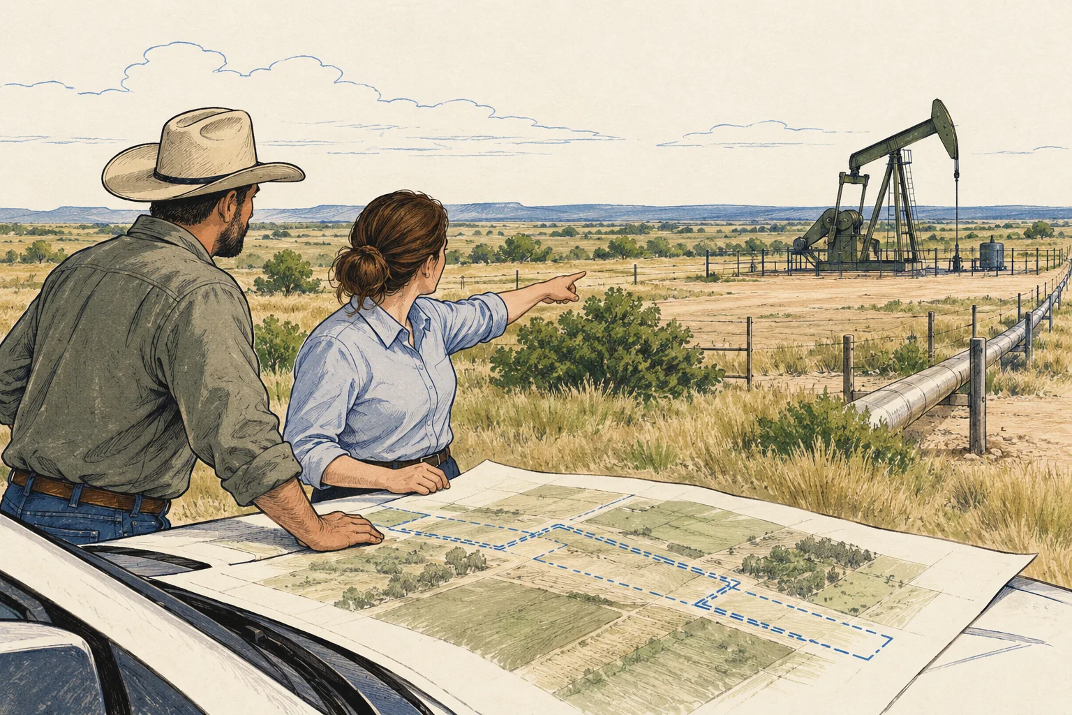
Oklahoma / Surface and well evidence

Oklahoma land review: separate surface and well records

For Oklahoma commercial land, connect oil-and-gas records to the site without confusing them with a title opinion. A well identifier, mapped location and operator name can help organize the research, while the surface purchase, easements and mineral interests need their own documents. Keep those evidence streams separate until the appropriate reviewers explain how they affect the proposed operation.

Oklahoma Corporation Commission resource guidance informs this desktop method. No well-status extraction, subsurface assessment or property-right determination is supplied.

Conceptual illustration of documents and decisions for Oklahoma commercial property research

What changes the decision

Oklahoma commercial land: separate the surface site from oil-and-gas records

01

Choose the current record path deliberately

The Corporation Commission’s database page directs users to Well Data Finder and describes searches by identifiers and location information, including API number and legal description. It also distinguishes legacy imaged records from later electronic filings. Record the source path used so a missing item in one archive is not mistaken for a complete search of the operating history.

Source 1
02

A well match needs a location explanation

Build a crosswalk between the well identifier, legal description and acquisition boundary using the supplied documents. Retain uncertain matches for review, especially where several wells or historic operations appear in a broader area. A common operator name or nearby point is a lead for investigation, not a sufficient match by itself.

03

Surface utility and legal rights require separate review

Request documents for access, equipment, pipelines and other features represented as affecting the site. Give the title reviewer and technical specialist the same acquisition plan. The commercial question is which parts of the proposed use remain supportable once those dependencies are understood, not whether the land can be reduced to a single oil-and-gas flag.

Read the records together

Evidence and its investment use

EvidenceWhat it establishesNext decision
API or other well identityA stable reference for the selected regulatory record.Explain the match to the acquisition location and keep uncertainty visible.
Filed documents and chronologyThe source record at particular dates and through particular systems.Resolve missing periods or apparently conflicting descriptions.
Surface and title documentsEvidence for rights and constraints relevant to the purchase.Request a professional conclusion tied to the proposed use.
Conceptual illustration of the Oklahoma research workflow

Put it to work

Surface and well-record review

The kit is an identity-and-dependency worksheet. It helps an acquisition team ask precise questions about oil-and-gas context without claiming that a public database settles ownership or physical site condition.

  1. Define the acquisition boundary

    Obtain the seller’s property description and a plan of the proposed operating area. Mark features or access routes that the seller says affect the site. Record the origin of each statement so an unverified anecdote is not placed on the same footing as a referenced instrument.

  2. Trace the well and document identities

    Use the Commission’s resource page to choose the relevant search and archive routes. Retain identifiers, legal descriptions and retrieval dates. Build a short chronology with links to the actual documents available to the reviewer, and flag missing periods rather than inventing a continuous operating history.

    Source 1
  3. Separate technical and rights questions

    Ask the technical reviewer about the physical features and records that need investigation. Ask counsel about the surface rights, reservations and instruments relevant to the proposed transaction. Do not ask either reviewer to silently resolve issues outside the supplied scope or their role.

  4. Produce a usable site decision note

    Map each unresolved issue to the portion of the project it could affect and assign a reviewer. Preserve the observed record facts and attributed judgments separately. Export the worksheet with the supporting plan so the buyer can decide which assumptions need resolution before relying on the proposed site utility.

Before the next conversation

Questions this review should answer

Does an operator name identify the owner of the land?

It identifies the party described in that regulatory context, subject to the record’s date and meaning. It does not by itself establish surface ownership or the interests being conveyed. Keep the regulatory identity and title review separate and match them only through supporting documents.

Why check both current and legacy record paths?

The Commission describes different systems for records from different periods. A source-limited search can miss part of the history. Record which route supplied each document and ask the reviewer to identify any remaining gaps before treating the chronology as sufficient for the acquisition question.

Source 1
What should AI be allowed to conclude?

AI can extract identifiers, dates and document references and propose a chronology for review. It should flag uncertain location matches and conflicting descriptions. It should not determine mineral ownership, declare a well harmless or infer unrestricted surface use from an empty or ambiguous search result.

From the page to your next task

Start with the useful output.

Well-record-to-surface-right register

Build an editable well-record-to-surface-right register, retain document references and open decisions, then export your team's working file.

Scope: Surface and well

Bring
A working file name; use a non-sensitive label for your project. Your document references and observations, or leave missing evidence marked unknown.
Leave with
Well-record-to-surface-right register with editable, expandable records and document locators Two fictional worked rows showing mismatches and decisions to review CSV and readable text exports with row provenance, method sources and edition A separate document-request companion with suggested reviewers

Edition 2026-09-30.1

Evidence and scope

Follow each claim to its source.

Database Search and Imaged Documents

Oklahoma Corporation Commission · Checked 2026-09-30

Official oil-and-gas database and document-search routes, including Well Data Finder and legacy records.

  • A resource directory does not establish any property’s title, well condition or permitted surface use.
Open original source ↗