Northern Virginia / Industrial outdoor storage

Know which documents to ask for. And why.

A practical IOS research brief for Loudoun and Prince William, with a historical approval walkthrough and a tool for planning your next requests.

For acquisitions teams organizing a first document review. Bring a site and a specific operating use. This is a source-backed research draft, not a current property shortlist or a site suitability decision.

Research checked 2026-09-29 · Source-linked brief + local tool

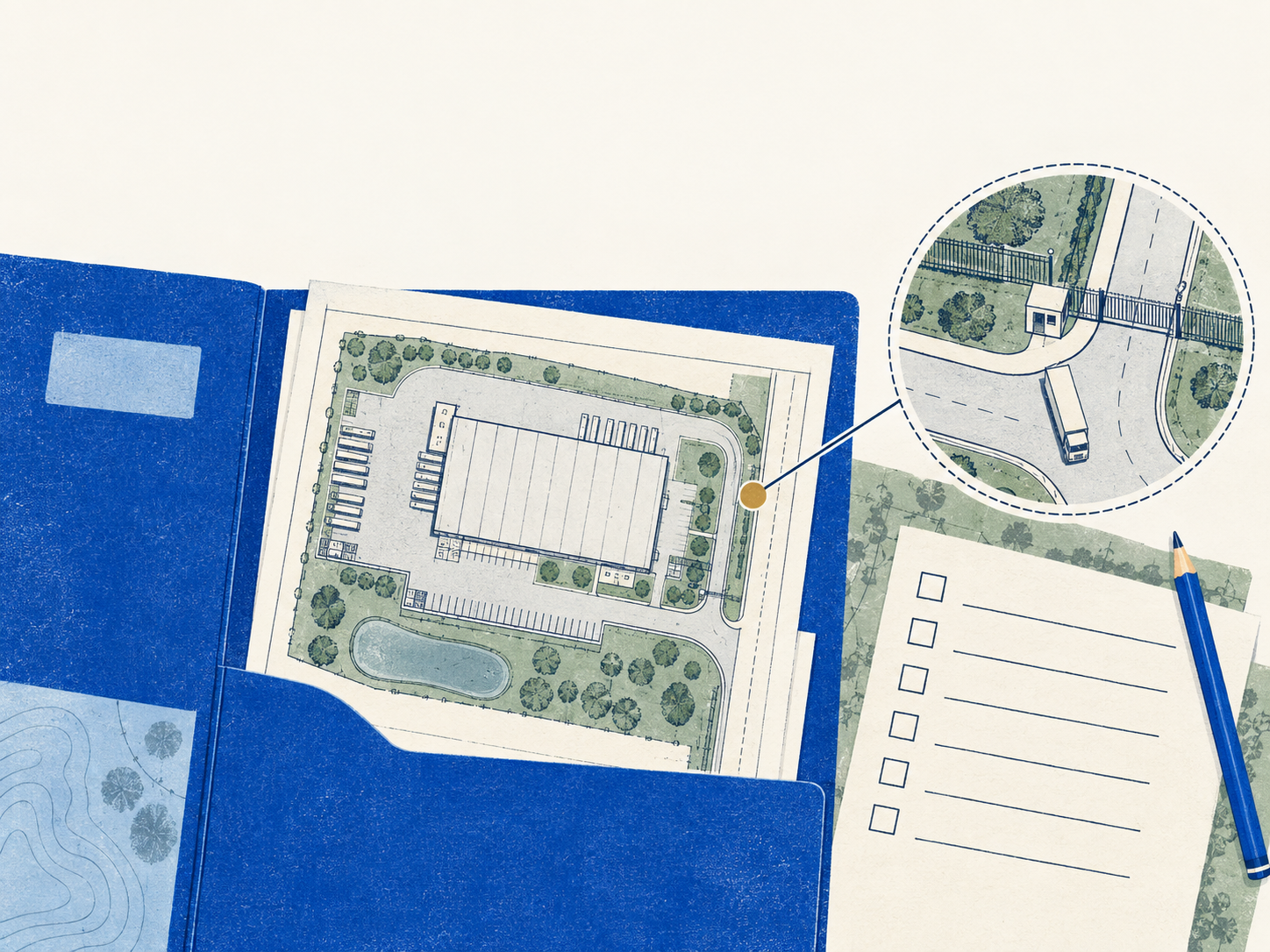
Conceptual illustration of an IOS research kit and industrial yard

01 / Regional findings

The decision is in the records.

01

A district label is only the beginning.

Loudoun directs property-specific entitlement research beyond the interactive ordinance map. Prince William directs researchers from district information to the ordinance, proffers, overlays and case records. Build a dated document chain for the exact proposed operation.

NV01NV03NV04
  • Our application: request the decision, referenced conditions and approved plan together. Ask the responsible zoning authority to resolve conflicts; do not treat a map label as that answer.
02

Keep GIS acres and legal acres separate.

Loudoun exposes distinct GIS-acreage and legal-acreage fields, with plat references and update dates. A parcel identifier can persist through a boundary change. Matching identifiers alone do not establish that the geometry is unchanged.

NV08
  • Our application: preserve the field name and date. If areas disagree, request the dated survey or plat for reconciliation. Neither value is a measured usable-yard area.
03

A no-match needs the search that produced it.

DEQ documents selectable layers and filters that affect results; mistyped filter values can return empty or incorrect results. Pollution-incident summaries also omit underlying agency documents. A map search and a document review answer different questions.

NV09NV10
  • Our application: retain the searched location, layers, filters, distance and date. Ask the environmental reviewer to set the scope and request available underlying records. No match is not environmental clearance.

02 / Authored reference case

A real record, with a bounded conclusion.

Woodland Plaza Tall Oaks, Lot 1

Historical approval

Loudoun County · Record as of 2022-12-06

This historical authority case teaches document reading. This example does not offer the property for sale or recommend an acquisition.

Start with the recorded action
The December 8 action report records the Board’s December 6, 2022 approval, subject to October 26 conditions and proffers. The staff recommendation alone would not tell you the final outcome. See final action pp. 9–10 and packet p. 1. NV06NV07
Follow the adopted references
The attachments reference a plan revised October 14, 2022. Sheet 4 labels 19,888 square feet; Condition 3’s percentage wording needs reconciliation with the plan and staff summary. Keep that interpretation open. Do not turn the label into today’s usable yard. See packet pp. 4, 6, 9 and 18. NV07
Turn the record into requests
The drawing depicts two road openings; a condition addresses runoff treatment. Request the current approval and site-plan record, applicable entrance/access documents, improvement-acceptance evidence and a vehicle-specific layout review. See packet pp. 7 and 17–18. Our request list is an analytical follow-up, not a finding of current compliance. NV07
What this record does not establish
  • The current use, later amendments, executed approvals, as-built layout, title/access rights, accepted improvements and environmental condition remain unverified.
  • This case has no connection to SYN-VA-001 or its fictional 12-minus-1-minus-2 acreage calculation.
NV06NV07

03 / Your next document requests

  1. 01 / See the output
  2. 02 / Your documents
  3. 03 / Next requests

What should you request next for this site?

Choose what you already have. Leave with a request list that says what to ask for, who to involve and why it matters.

No acreage, spreadsheet setup or AI installation required. “Not sure” is a useful answer.

Example of the output

Request the access documents.

Ask: the owner or broker for relevant title/access documents.

Assign: your title/legal reviewer to assess them for the intended operation.

An illustrative request, not a finding about a real site.

04 / Research paths

Ask the next question in the right place.

These are documented starting paths. Portal coverage and the controlling authority still need to be checked for the property and proposed use.

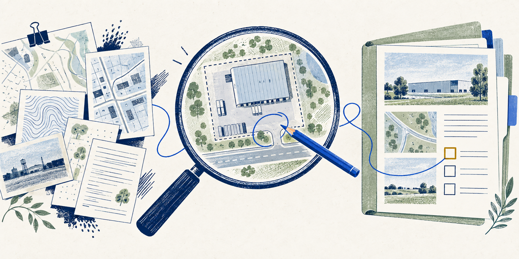
Conceptual illustration of linked maps, plans and evidence records

Loudoun County

  1. Confirm who governs the use

    Check jurisdiction and the applicable ordinance, including the FAQ’s incorporated-town and Route 28 exceptions. NV01

  2. Follow the property-specific record

    Use WebLogis for the official zoning-map route, then LandMARC for approved rezonings and site plans. Keep their roles distinct. NV01

  3. Check both meeting-record systems

    Follow the county’s current directory to newer records and the historical archive. The 2022 example lives in Granicus. NV02

  • A portal path is not a complete property search. Confirm the current record chain with the authority.

Prince William County

  1. Read district, proffers and overlays

    Start with County Mapper and the ordinance, then check applicable case records and restrictions. NV03

  2. Use the correct records and office

    Follow ePortal for plan/status records. Route use interpretations to Zoning Administration. NV03NV04

  3. Record the database’s coverage

    The determination database covers issued determinations since August 1, 2024. Its own warnings identify omissions and superseding decisions. NV05

  • No current Prince William property case was analyzed. The comparison is between official research paths.

05 / Source register

Inspect the basis of each finding.

Source links open external publishers. A dated source is evidence of its stated scope, not current parcel clearance.

NV01 Loudoun zoning FAQ

Loudoun County · Checked 2026-09-29

Official guidance on ordinance applicability, map views and property-specific records.

  • Guidance and lookup path, not a determination for a particular property.
Open source record ↗
NV02 Loudoun meetings and archives

Loudoun County · Checked 2026-09-29

Current directory to newer meeting records and historical archives.

  • Meeting dates and platforms matter. Searching one archive is not a complete approval search.
Open source record ↗
NV03 Prince William land-development FAQ

Prince William County · Checked 2026-09-29

Official routes for district, proffer, overlay and site-plan research.

  • The page does not establish a particular use approval.
Open source record ↗
NV04 Prince William Zoning Administration

Prince William County · Checked 2026-09-29

Identifies the office responsible for zoning administration and interpretations.

  • Planning cannot speak on behalf of the Zoning Administrator.
Open source record ↗
NV05 Prince William determination database

Prince William County · Checked 2026-09-29

Public determination database and its stated coverage/limitations.

  • Covers issued determinations since August 1, 2024; omissions, changed facts and supersession remain possible.
Open source record ↗
NV06 Woodland Plaza final action report, item 12

Loudoun County · Checked 2026-09-29 · Record date 2022-12-08

PDF pages 9–10 record the December 6, 2022 Board action. Report dated December 8.

  • Historical vote record. Current approvals, compliance and operations were not checked.
Open source record ↗
NV07 Woodland Plaza staff packet and attachments

Loudoun County · Checked 2026-09-29 · Record date 2022-12-06

December 6 agenda packet: staff position p. 1; conditions pp. 6–7; proffers pp. 8–10; plan sheets pp. 17–18. Page numbers are PDF viewer pages.

  • Agenda attachments and conceptual drawings. Executed copies and later amendments were not retrieved. No drawing is redistributed.
Open source record ↗
NV08 Loudoun parcel layer: field definitions

Loudoun County · Checked 2026-09-29

Observed schema lists GIS acreage, legal acreage, plat references and update fields.

  • Schema review only. No parcel query, acreage comparison or completeness audit was performed.
Open source record ↗
NV09 DEQ Environmental Data Mapper user guide

Virginia DEQ · Checked 2026-09-29 · Record date 2025

2025 guide: layer selection, filters and nearby searches, PDF pp. 7–14 and 16–17.

  • Documentation review only. No environmental search was performed for the historical case.
Open source record ↗
NV10 DEQ pollution data and reporting

Virginia DEQ · Checked 2026-09-29

Official guidance distinguishes incident summaries from underlying agency documents.

  • Document requests follow the agency process; retention may limit availability. No records request was submitted.
  • Direct page access was unavailable during this review; the relevant guidance was checked in the official search snapshot.
Open source record ↗
NV11 Caelon: IOS in Data Center Valley

Caelon · Checked 2026-09-29 · Record date 2026-08-25

Publisher context: public introduction to its Northern Virginia IOS report.

  • This public introduction provides publisher context. Selected report findings are cited separately in the Virginia guide; this kit uses the county record paths and historical case below.
Open source record ↗


Limits of this kit
  • This brief covers source workflows in two counties and one selected historical Loudoun case. It is not a representative market sample, a statewide coverage audit or an opportunity inventory.
  • No parcel extraction, current permit search, title review, environmental site search or engineering measurement was performed. Property-specific interpretation requires the appropriate specialist.
  • The Caelon public introduction remains context only. The findings above rely on the named primary authorities. Report-wide inventory counts are excluded from this kit because their counting basis has not been reconciled.
  • The planner organizes requests from your answers. It neither retrieves nor verifies documents, sends requests, or qualifies an investment.

Take the research into your review

Keep the source trail attached.

The download includes the request planner, the regional brief and supporting evidence files. No file is a completed parcel diligence report.

Download the files directly. No email is required.

NextAutomation · Northern Virginia IOS research kit