

Virginia / IOS site review

IOS site evidence kit

Turn a partial site file into a clear review sheet covering the operation, permissions, access and yard area.

Organize one site and proposed operation. Lessons come from the supplied regional IOS report; the example is fictional. No statewide inventory is implied.

Start the working kit
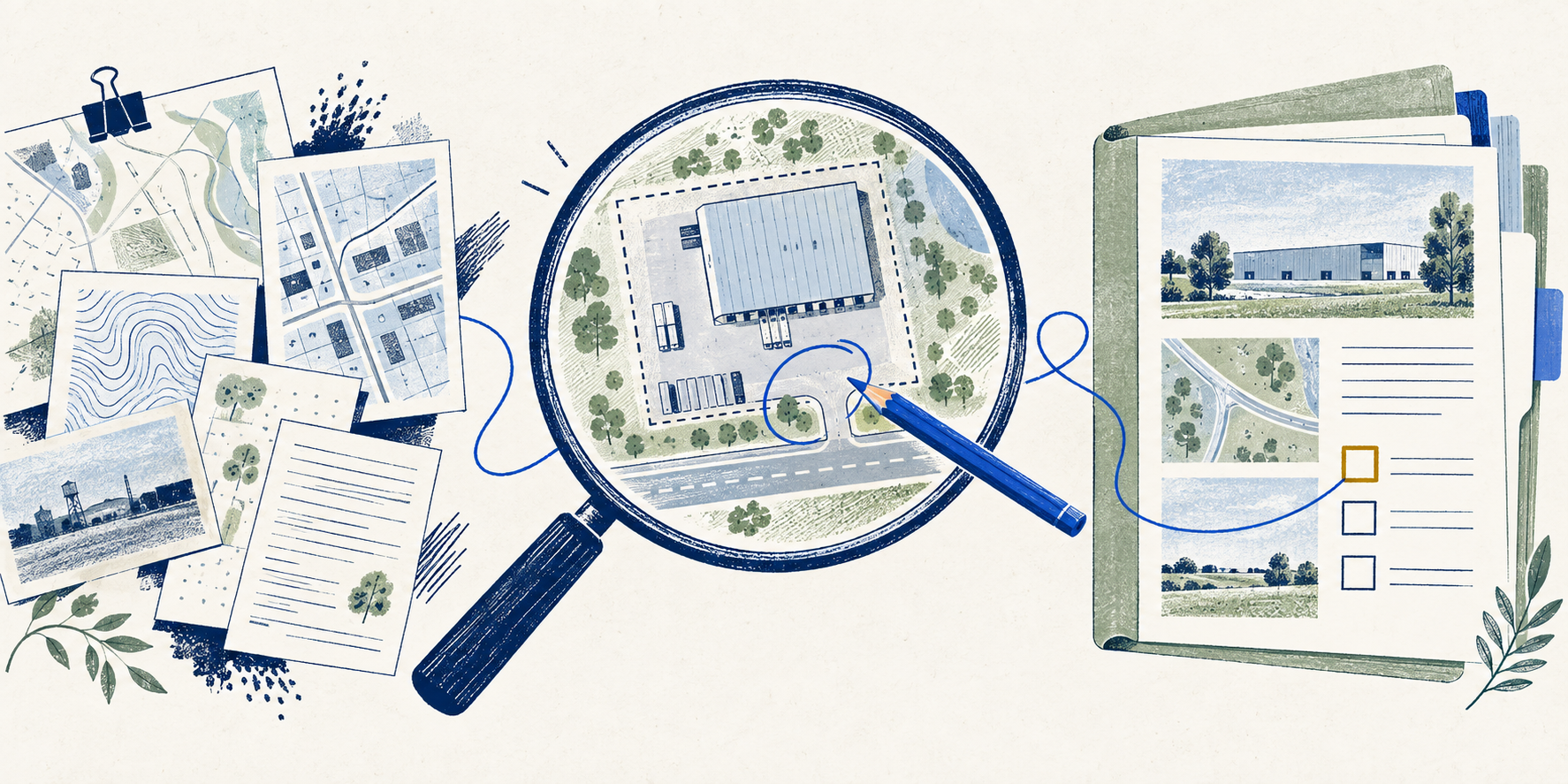
Conceptual site evidence sheets for an industrial yard review

One property / one useful review sheet

Use the example. Then make it yours.

1. See a filled example.

Follow a fictional yard with a partial evidence file. See how parcel boundaries, operating permission, access and area become separate review tasks.

2. Enter what you have.

Start a blank sheet for your property. Add document references and observations. Leave unavailable information as unknown; you do not need every document to begin.

3. Take the next actions.

Generate a readable review sheet with the evidence supplied, unresolved questions, task owners and next requests. Download it for your deal file or copy it into your team's workflow.

Use the research / local working sheet

IOS site evidence sheet

Separate observations from documents, then prepare the next four review tasks.

01 Parcel to operation

Keep a tax parcel, candidate and operating yard distinct.

Add observations and document references

Optional. Missing details stay unknown. Enter references you already have; this tool does not retrieve records.

Describe what you saw or were told. This is not a document finding.

02 Permission chain

Name the proposed activity and its locality before interpreting a zoning label.

Add observations and document references

Optional. Missing details stay unknown. Enter references you already have; this tool does not retrieve records.

Describe what you saw or were told. This is not a document finding.

03 Access

Nearby parcels or a visible driveway do not establish usable or legal access.

Add observations and document references

Optional. Missing details stay unknown. Enter references you already have; this tool does not retrieve records.

Describe what you saw or were told. This is not a document finding.

04 Measured yard

Mapped land area is separate from the area available for the proposed use.

Add observations and document references

Optional. Missing details stay unknown. Enter references you already have; this tool does not retrieve records.

Describe what you saw or were told. This is not a document finding.

Answers stay in this page. No lookup, upload, automatic saving, contact capture or sending. Editing a field hides the prior output until you rebuild it.

What informed this kit

A practical method with a visible source trail.

2026 Industrial Outdoor Storage: supplied report

August 2026 regional candidate study; sample revised September 11. Page-cited methods and arithmetic reviewed September 29. Its regional label does not establish statewide coverage.

Reviewed 2026-09-29

Loudoun zoning FAQ

Official guidance on ordinance applicability, map views and property-specific records.

Reviewed 2026-09-29

Open source ↗
Prince William land-development FAQ

Official routes for district, proffer, overlay and site-plan research.

Reviewed 2026-09-29

Open source ↗
Loudoun parcel layer: field definitions

Observed schema lists GIS acreage, legal acreage, plat references and update fields.

Reviewed 2026-09-29

Open source ↗
Scope of the output
  • This tool organizes user-supplied evidence. It does not retrieve records, verify current use or determine suitability.
  • No report inventory total, seller profile, valuation or assumed yard capacity is adopted as a fact about your site.
  • The worked example is fictional and remains labelled after editing; start blank for a fresh file.

This edition uses the supplied reports to structure the work. It does not require another dataset from you and does not run a property search. Your answers stay in the current page until you download or copy them; reloading clears them.

NextAutomation · Edition 2026-09-30.1