

Land feasibility evidence

Land acquisition review: organize feasibility dependencies

Land research should identify the dependencies between the parcel, proposed project and approvals before treating acreage as development capacity. Start with a defined concept, then organize title, access, land-use, utility and environmental questions. AI can connect the supplied records and dates into a feasibility request list, but it cannot turn a zoning label or vacant appearance into an approved project.

NextAutomation editorial research method. Public sources establish the framework; the worksheet example is fictional and no property has been verified.

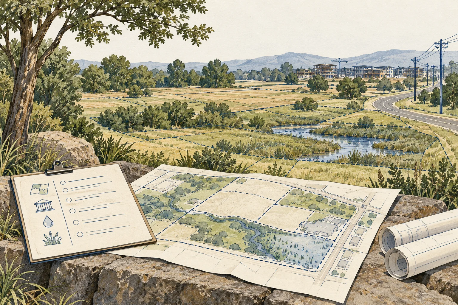
Conceptual illustration of land boundaries, project assumptions and development dependencies

What changes the decision

Read the operating model before the headline

01

The parcel is not the project

The OCC’s CRE handbook identifies surveys, plans, zoning evidence, utilities and environmental information among development-lending records. Use those categories to establish which land and project are actually being reviewed. A tax parcel can include areas outside the proposed development footprint, and an assemblage can depend on interests not yet controlled. Keep the legal and conceptual boundaries separate.

Source 1
02

Entitlement is a sequence of evidence

A zoning designation, application, staff recommendation and final approval represent different stages. Preserve conditions, dates and the authority issuing each record. Do not label an application approved because a favorable document appears in the packet. Ask the land-use reviewer which further decisions or implementation requirements remain for the specific concept.

03

Constraints can overlap

Soils, drainage, access, easements and environmental questions may affect the same land. A desktop map can help identify requests, but separately adding constraint acreages can double-count overlapping areas. Keep screening observations distinct from surveyed geometry and specialist conclusions. NRCS soil information provides context; it is not a project geotechnical report or a certified buildable-area calculation.

Source 1

Keep these separate

Three distinctions to preserve in the file

Evidence or situationWhat it tells youWhat to establish next
Gross parcel acreageDescribes a mapped or recorded land quantityEstablish boundary basis, included interests and the project footprint.
Concept planShows a proposed arrangementIdentify assumptions and approvals still needed before describing capacity as permitted.
Approval documentEstablishes a decision within its stated scopeReview conditions, amendments, expiration and remaining implementation requirements.
Conceptual illustration of land boundaries, project assumptions and development dependencies

A practical review sequence

Build a file another reviewer can follow

Use the sequence below to turn the initial description into specific document requests. Preserve contradictory records instead of choosing the more favorable version.

  1. Define the concept and control

    Describe the intended use, approximate program and land interests needed. Request surveys, title information and any assemblage or access agreements. Keep owned, contracted and merely proposed parcels in separate statuses. A concept that crosses uncontrolled land should carry that dependency into every later review.

  2. Build an approval chronology

    Collect official applications, decisions, conditions and amendments. Ask AI to arrange the sequence and flag references to missing documents. Preserve each authority and date. A qualified land-use reviewer should confirm the status and remaining requirements; the software should not infer finality from the most recent favorable sentence.

  3. Organize physical and utility questions

    Request available engineering, soils, environmental and service records. Connect them to the actual project concept and note scope limitations. Ask the relevant specialists what fieldwork or design evidence is still needed. Do not convert a nearby line, mapped soil type or search no-match into a finding of service or suitability.

  4. Produce the dependency handoff

    List each unresolved item, the decision it affects and the evidence needed next. Sequence requests so the team can see which assumptions depend on earlier answers. The kit produces a review sheet, not a yield study, cost estimate or promise of development approval. Later models should retain these dependencies rather than hiding them in one contingency figure.

Questions that arise during review

Resolve the ambiguity before the model

Can AI estimate buildable acreage from public maps?

It can organize mapped observations and identify possible overlaps, but this kit does not establish surveyed boundaries or regulatory constraints. A defensible project area requires suitable geometry and qualified review. Keep a desktop screen separate from a verified development layout.

Is favorable zoning enough to proceed?

It is one input. Review the proposed use, applicable conditions, access, utility and project approval path. The relevant authority and advisor should explain what the zoning permits and what further decisions are needed for the specific project.

What AI output is useful before underwriting?

Ask for a parcel-to-document crosswalk and approval chronology with exact references, followed by missing-survey, condition and utility questions. Have counsel verify land interests and the engineer verify technical scope. That output can improve the next request without pretending to settle feasibility.

From the page to your next task

Start with the useful output.

Feasibility dependency and condition register

Build an editable feasibility dependency and condition register, retain document references and open decisions, then export your team's working file.

Scope: land boundaries, project assumptions and development dependencies

Bring
An optional file nickname Status, observations and document references for the four evidence items; unknown is acceptable
Leave with
Feasibility dependency and condition register with editable, expandable records and document locators Two fictional worked rows showing mismatches and decisions to review CSV and readable text exports with row provenance, method sources and edition A separate document-request companion with suggested reviewers

Edition 2026-09-30.1

Put the reviewed inputs to work

Continue with a relevant template.

The Zoning & Entitlement Decoder

After locating the applicable ordinance and defining the project, use the decoder prompt and workbook to organize a cited zoning screen. Treat the output as a draft: confirm interpretations, overlays and the actual approval path with the local authority and qualified advisers.

Explore the existing resource ↗

Evidence and scope

Follow each claim to its source.

Commercial Real Estate Lending, Comptroller’s Handbook, version 2.0

Office of the Comptroller of the Currency · Checked 2026-09-30

March 2022 supervisory handbook; lease review, property income, re-leasing costs and property-type distinctions.

  • Bank supervisory guidance, not a property appraisal, current market survey or universal financing standard. No handbook percentage is adopted as a deal assumption.
Open original source ↗
Brownfields All Appropriate Inquiries

U.S. Environmental Protection Agency · Checked 2026-09-30

Environmental inquiry process, historical uses, records, inspections and significant data gaps.

  • A portal search or this editorial worksheet is not an environmental professional’s assessment or a liability determination.
Open original source ↗
Web Soil Survey

USDA Natural Resources Conservation Service · Checked 2026-09-30

Soil survey maps, tabular information and interpretations for land-use and management review.

  • Mapped interpretations do not replace field testing, parcel boundaries, water-right records, yield verification or a project geotechnical report.
Open original source ↗