

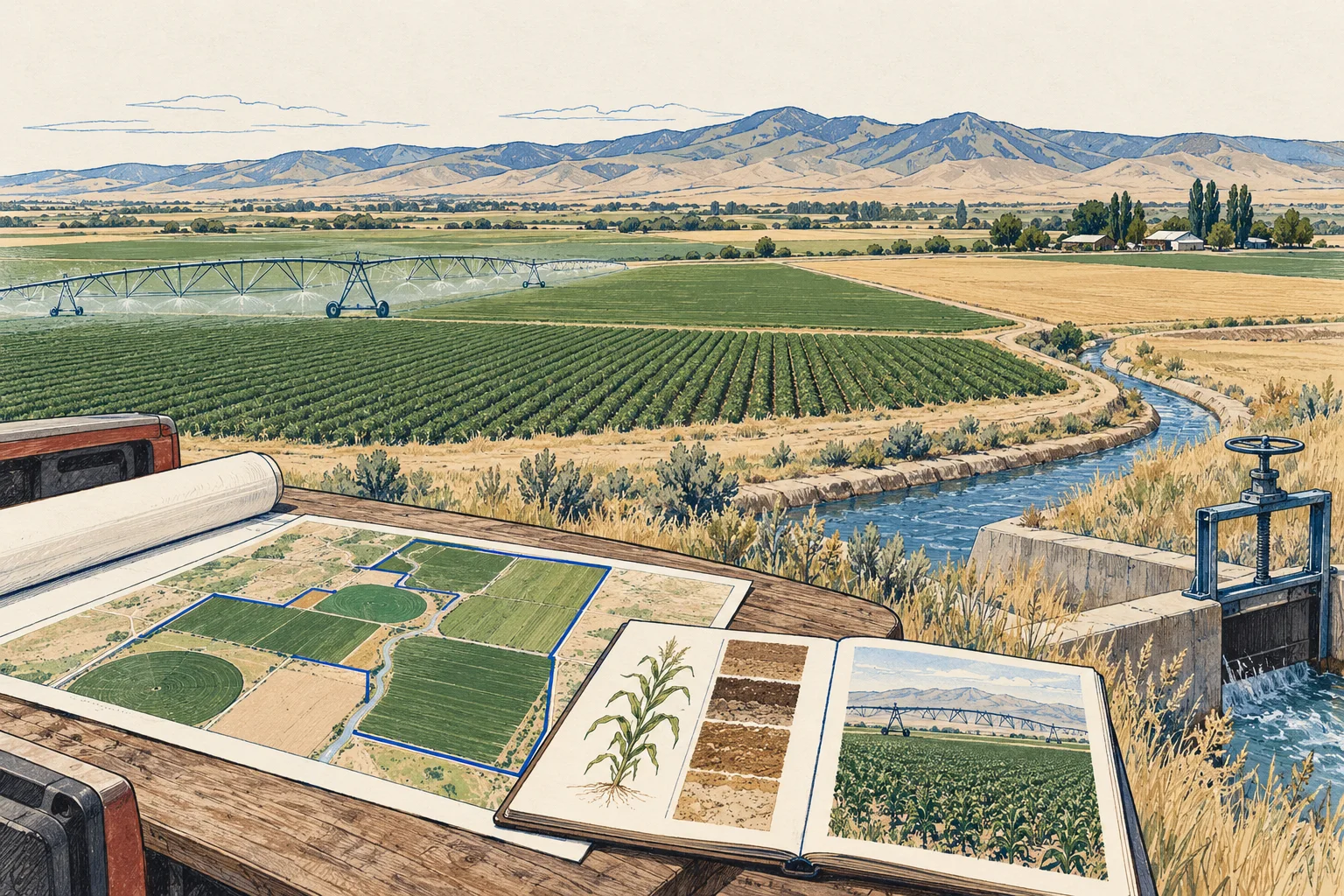
Soil maps are a starting layer
NRCS Web Soil Survey provides soil data and interpretations for land-use and management decisions. Use it to frame field-specific questions, not to certify a farm’s yield or productive area. Keep the mapped soil units, selected area and access date with the record. Field conditions, management and the proposed crop still require their own evidence and review.
Source 1